Gloucester in Essex County, Massachusetts — The American Northeast (New England)
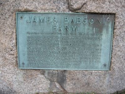
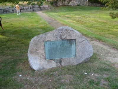
James Babson Farm
Farm
Granted by Special Town Act December 23, 1658
James and his mother Isabel were the first Babsons to reach America, arriving in 1632.
James' father died on shipboard while crossong.
-----------------
Town records show that Isabel was a very active kindly and beloved member of the community. She died in 1661. James was a cooper who made barrels etc. from lumber obtained from the adjoining mill on Cape Pond Brook. He married Elinor Hill and they had ten children. He died in 1683.
Topics. This historical marker is listed in these topic lists: Colonial Era • Settlements & Settlers. A significant historical month for this entry is December 1837.
Location. 42° 38.315′ N, 70° 38.307′ W. Marker is in Gloucester, Massachusetts, in Essex County. Marker is on Eastern Avenue (Massachusetts Route 127) half a mile south of Sheehan Terrace, on the right when traveling south. Touch for map. Marker is in this post office area: Gloucester MA 01930, United States of America. Touch for directions.
Other nearby markers. At least 8 other markers are within 2 miles of this marker, measured as the crow flies. First Settler (approx. 1˝ miles away); Revolutionary War Unknown Soldiers Grave Marker (approx. 1.6 miles away); Old First Parish Burying Ground (approx. 1.6 miles away); John Pool (approx. 1.6 miles away); The First Settlers of Sandy Bay (approx. 1.7 miles away); First Congregational Church of Rockport Steeple Rehabilitation (approx. 1.7 miles away); Harvey Park (approx. 1.7 miles away); Riverdale World War II Monument (approx. 1.7 miles away).

Photographed By Michael Herrick, September 25, 2010
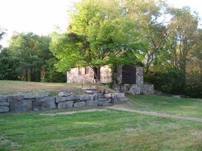
4. Babson Cooperage
This stone building, originally built in 1658, was part of the Babson Farm and operated as a cooperage by James Babson. The area also includes foundations of other early structures. It is currently operated as the Babson Cooperage Museum, open seasonally.
Credits. This page was last revised on June 16, 2016. It was originally submitted on September 29, 2010, by Michael Herrick of Southbury, Connecticut. This page has been viewed 932 times since then and 22 times this year. Photos: 1, 2, 3, 4. submitted on September 29, 2010, by Michael Herrick of Southbury, Connecticut.


