Joseph City in Navajo County, Arizona — The American Mountains (Southwest)
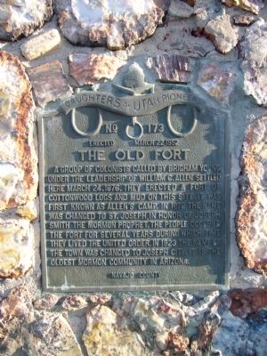
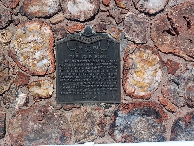
The Old Fort
Erected 1952 by Daughters of Utah Pioneers. (Marker Number 173.)
Topics and series. This historical marker is listed in this topic list: Settlements & Settlers. In addition, it is included in the Daughters of Utah Pioneers series list. A significant historical date for this entry is March 24, 1876.
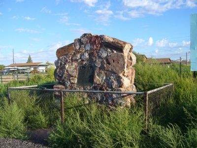
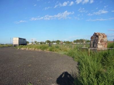
Location. 34° 57.364′ N, 110° 19.275′ W. Marker is in Joseph City, Arizona, in Navajo County. Marker is on Main Street (Business Interstate 40) west of Allen Avenue, on the right when traveling west. Touch for map. Marker is in this post office area: Joseph City AZ 86032, United States of America. Touch for directions.
Other nearby markers. At least 8 other markers are within 16 miles of this marker, measured as the crow flies. Jack Rabbit Trading Post, Joseph City, AZ (approx. 6.3 miles away); Wigwam Village #6 (approx. 9.4 miles away); Henry R. Holbrook (approx. 9.8 miles away); Sidney Sapp House (approx. 9.8 miles away); Navajo County Courthouse (approx. 10 miles away); Historic Wagon Road (approx. 10.1 miles away); Little Colorado River Bridge (approx. 10.1 miles away); Winslow – Toreva Highway (approx. 16 miles away).
Also see . . . History of Joseph City. An article by Legends of America giving the history of the settlement and highlighting a local business called The Jackrabbit Trading Post. (Submitted on September 30, 2010.)
Credits. This page was last revised on December 26, 2023. It was originally submitted on September 29, 2010, by Bill Kirchner of Tucson, Arizona. This page has been viewed 1,403 times since then and 67 times this year. Last updated on October 1, 2010, by Bill Kirchner of Tucson, Arizona. Photos: 1. submitted on September 29, 2010, by Bill Kirchner of Tucson, Arizona. 2. submitted on December 25, 2023, by Flexible Fotography of San Diego, California. 3, 4. submitted on September 29, 2010, by Bill Kirchner of Tucson, Arizona. 5. submitted on November 1, 2020, by Denise Boose of Tehachapi, California. • Syd Whittle was the editor who published this page.
