Near Grants in Cibola County, New Mexico — The American Mountains (Southwest)
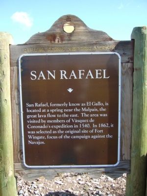
San Rafael
Topics. This historical marker is listed in these topic lists: Colonial Era • Exploration • Forts and Castles • Native Americans. A significant historical year for this entry is 1540.
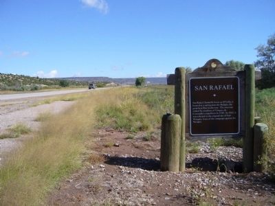
Location. 35° 7.133′ N, 107° 52.536′ W. Marker is near Grants, New Mexico, in Cibola County. Marker is on State Road 53 at milepost 83.1,, 2½ miles south of Interstate 40, on the right when traveling north. Touch for map. Marker is in this post office area: Grants NM 87020, United States of America. Touch for directions.
Other nearby markers. At least 8 other markers are within 3 miles of this marker, measured as the crow flies. Vietnam Veterans Memorial (approx. 2.6 miles away); Grants (approx. 2.6 miles away); The Caboose (approx. 2.6 miles away); One Ton Mine Car (approx. 2.7 miles away); The Fannie Mine Hoisting Bucket (approx. 2.7 miles away); Mine Head Frame (approx. 2.7 miles away); Large Diameter Drill Bit (approx. 2.7 miles away); a different marker also named Grants (approx. 2.9 miles away). Touch for a list and map of all markers in Grants.
Credits. This page was last revised on January 4, 2021. It was originally submitted on October 3, 2010, by Bill Kirchner of Tucson, Arizona. This page has been viewed 1,115 times since then and 55 times this year. Photos: 1, 2, 3. submitted on October 3, 2010, by Bill Kirchner of Tucson, Arizona. • Syd Whittle was the editor who published this page.


