Deadwood in Lawrence County, South Dakota — The American Midwest (Upper Plains)
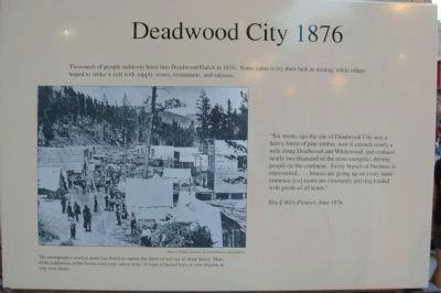
Deadwood City 1876
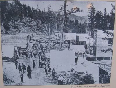
"Six weeks ago the site of Deadwood City was a heavy forest of pine timber, now it extends nearly a mile along Deadwood and Whitewood, and contains nearly two thousand of the most energetic, driving people on the continent. Every branch of business is represented,... houses are going up on every hand - immense [ox] trains are constantly arriving loaded with goods of all kinds."
Black Hills Pioneer, June 1876
Topics. This historical marker is listed in this topic list: Settlements & Settlers. A significant historical month for this entry is June 1876.
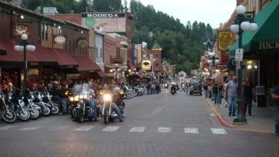
Location. Marker has been reported permanently removed. It was located near 44° 22.62′ N, 103° 43.818′ W. Marker was in Deadwood, South Dakota, in Lawrence County. Marker was at the intersection of Main Street and Lee Street, on the right when traveling west on Main Street. Touch for map. Marker was in this post office area: Deadwood SD 57732, United States of America.
We have been informed that this sign or monument is no longer there and will not be replaced. This page is an archival view of what was.
Other nearby markers. At least 8 other markers are within walking distance of this location. Deadwood 1876 (here, next to this marker); Jack McCall Capture Site (a few steps from this marker); The Fire of 1879 (a few steps from this marker); Broadway Street (within shouting distance of this marker); Forest Hill (within shouting distance of this marker); St. Johns Episcopal Church, Est. 1880 (within shouting distance of this marker); Waite Block Annex (within shouting distance of this marker); The Great Flood (about 300 feet away, measured in a direct line). Touch for a list and map of all markers in Deadwood.

Photographed By William J. Toman, August 7, 2010
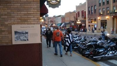
2. Photo on Deadwood City 1876 Marker
Caption: The photographer stood at about Lee Street to capture the flurry of activity on Main Street. Many of the habitations of this boom town were canvas tents, or made of peeled logs, or were dugouts in clay river banks.
Credits. This page was last revised on October 6, 2021. It was originally submitted on October 5, 2010, by William J. Toman of Green Lake, Wisconsin. This page has been viewed 1,537 times since then and 47 times this year. Last updated on October 5, 2021, by Connor Olson of Kewaskum, Wisconsin. Photos: 1, 2, 3, 4. submitted on October 5, 2010, by William J. Toman of Green Lake, Wisconsin. • Mark Hilton was the editor who published this page.


