Mount Pleasant in Charleston County, South Carolina — The American South (South Atlantic)
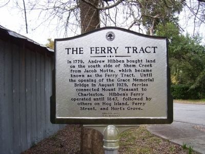
The Ferry Tract
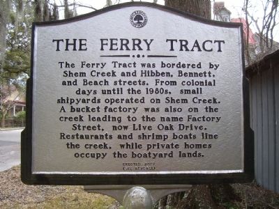
(Side 2):
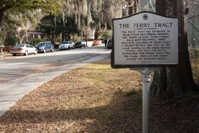
The Ferry Tract was bordered by Shem Creek and Hibben, Bennett, and Beach streets. From colonial days until the 1980s, small shipyards operated on Shem Creek. A bucket factory was also on the creek leading to the name Factory Street, now Live Oak Drive. Restaurants and shrimp boats line the creek, while private homes occupy the boatyard lands.
Erected 2007.
Topics. This historical marker is listed in this topic list: Settlements & Settlers. A significant historical year for this entry is 1779.
Location. 32° 47.358′ N, 79° 52.816′ W. Marker is in Mount Pleasant, South Carolina, in Charleston County. Marker is at the intersection of Bennett Street and Live Oak Drive, on the right when traveling north on Bennett Street. Touch for map. Marker is in this post office area: Mount Pleasant SC 29464, United States of America. Touch for directions.
Other nearby markers. At least 8 other markers are within walking distance of this marker. Hibben House (about 500 feet away, measured in a direct line); Hibben House / British Occupation (about 500 feet away); Mount Pleasant Presbyterian Church (about 600 feet away); Haddrell's Point (approx. 0.2 miles away); The Whilden House / 54th Massachusetts Regiment (approx. 0.2 miles away); Mount Pleasant Home for Destitute Children (approx. ¼ mile away); Pitt Street Merchants (approx. ¼ mile away); Etiwan Masonic Lodge (approx. ¼ mile away). Touch for a list and map of all markers in Mount Pleasant.
Credits. This page was last revised on May 22, 2020. It was originally submitted on October 7, 2010. This page has been viewed 653 times since then and 17 times this year. Photos: 1, 2, 3. submitted on October 7, 2010. 4. submitted on January 9, 2011, by Mike Stroud of Bluffton, South Carolina. • Craig Swain was the editor who published this page.


