Mount Pleasant in Charleston County, South Carolina — The American South (South Atlantic)
Hibben House / British Occupation
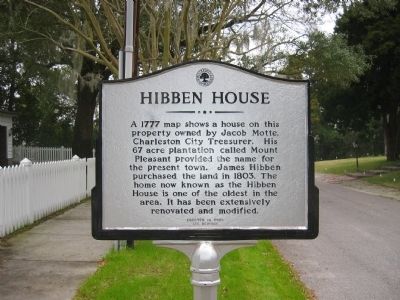
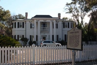
Hibben House
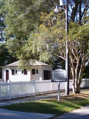
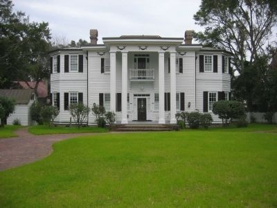
A 1777 map shows a house on this property owned by Jacob Motte, Charleston City Treasurer. His 67 acre plantation called Mount Pleasant provided the name for the present town. James Hibben purchased the land in 1803. The home now known as the Hibben House is one of the oldest in the area. It has been extensively renovated and modified.
(Reverse):
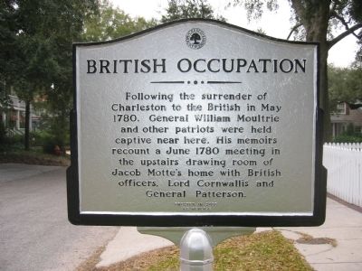
British Occupation
Following the surrender of Charleston to the British in May 1780, General William Moultrie and other patriots were held captive near here. His memoirs recount a June 1780 meeting in the upstairs drawing room of Jacob Motte’s home with British officers, Lord Cornwallis and General Patterson.
Topics. This historical marker is listed in these topic lists: Notable Buildings • War, US Revolutionary. A significant historical month for this entry is May 1780.
Location. 32° 47.271′ N, 79° 52.823′ W. Marker is in Mount Pleasant, South Carolina, in Charleston County. Marker is on Hibben Street, on the right when traveling west. Touch for map. Marker is in this post office area: Mount Pleasant SC 29464, United States of America. Touch for directions.
Other nearby markers. At least 8 other markers are within walking distance of this marker. Hibben House (a few steps from this marker); The Ferry Tract (about 500 feet away, measured in a direct line); The Whilden House / 54th Massachusetts Regiment (about 700 feet away); Mount Pleasant Presbyterian Church (approx. 0.2 miles away); Haddrell's Point (approx. 0.2 miles away); Mount Pleasant Home for Destitute Children (approx. 0.2 miles away); Pitt Street Merchants (approx. ¼ mile away); St. Andrew's Church (approx. ¼ mile away). Touch for a list and map of all markers in Mount Pleasant.
Credits. This page was last revised on May 22, 2020. It was originally submitted on October 7, 2010. This page has been viewed 1,263 times since then and 59 times this year. Photos: 1, 2, 3, 4. submitted on October 7, 2010. 5. submitted on January 9, 2011, by Mike Stroud of Bluffton, South Carolina. • Craig Swain was the editor who published this page.
