Fort Apache in Navajo County, Arizona — The American Mountains (Southwest)
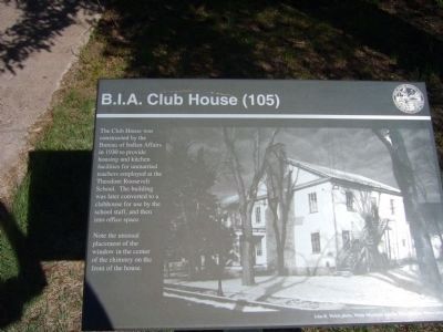
B.I.A. Club House (105)
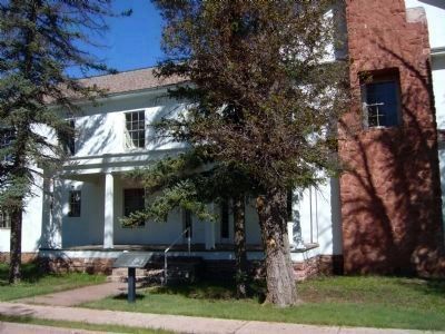
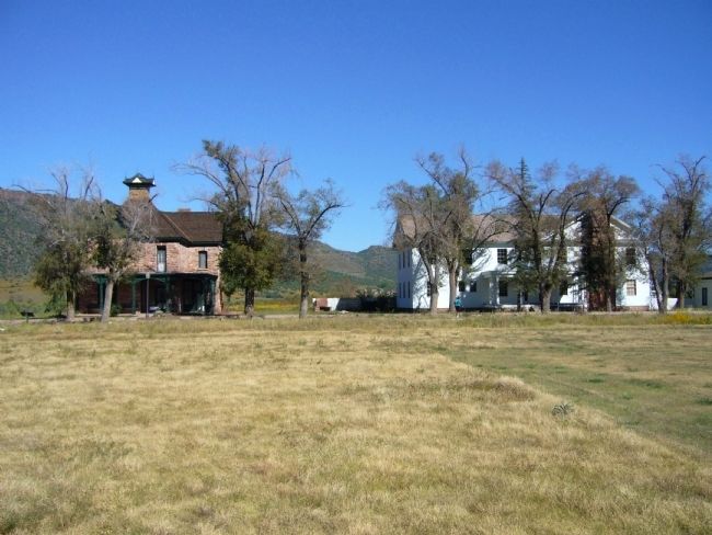
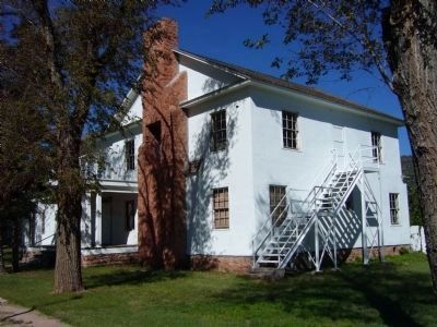
The Club House was constructed by the Bureau of Indian Affairs in 1930 to provide housing and kitchen facilities for unmarried teachers employed at the Theodore Roosevelt School. The building was later converted to a clubhouse for use by the school staff, and then into office space.
Note the unusual placement of the window in the center of the chimney on the front of the house.
Erected by Fort Apache Historic Park and the White Mountain Apache Tribe.
Topics. This historical marker is listed in these topic lists: Education • Forts and Castles. A significant historical year for this entry is 1930.
Location. 33° 47.489′ N, 109° 59.34′ W. Marker is in Fort Apache, Arizona, in Navajo County. Marker is on General Crook Street, on the left when traveling east. Marker is located at the Fort Apache Historic Park, 0.7 miles east of AZ-73 on Fort Apache Road. Touch for map. Marker is in this post office area: Fort Apache AZ 85926, United States of America. Touch for directions.
Other nearby markers. At least 8 other markers are within walking distance of this marker. Officer's Quarters (106) (within shouting distance of this marker); Commanding Officers' Quarters (104) (within shouting distance of this marker); Parade Ground (within shouting distance of this marker); Officers' Quarters (107, 108, 109) (about 300 feet away, measured in a direct line); Captain's Quarters (102 and 103) (about 300 feet away); Adjutant's Office (117) (about 400 feet away); Theodore Roosevelt School (118) (about 400 feet away); T.R. School Cafeteria (119) (about 500 feet away). Touch for a list and map of all markers in Fort Apache.
More about this marker. All visitors to Fort Apache Historic Park must first register and pay admission at Culture Center, just to the left as you enter the park.
Also see . . . Fort Apache Historic Park. White Mountain Apache Tribe website entry (Submitted on October 11, 2010.)
Credits. This page was last revised on March 22, 2023. It was originally submitted on October 10, 2010, by Bill Kirchner of Tucson, Arizona. This page has been viewed 968 times since then and 12 times this year. Photos: 1, 2, 3, 4. submitted on October 10, 2010, by Bill Kirchner of Tucson, Arizona. • Syd Whittle was the editor who published this page.


