Jonesboro in Clayton County, Georgia — The American South (South Atlantic)
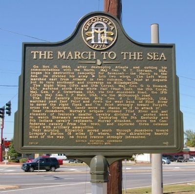
The March to the Sea
The Right Wing (15th and 17th Corps), Maj. Gen. O. O. Howard, USA, marched south from White Hall (West End), the 15th Corps, Maj. Gen. P. J. Osterhaus, USA, via Old Jonesboro Road, the 17th Corps, Maj. Gen. F. P. Blair, USA, via the McDonough road.
The 3rd Cavalry Division, Brig. Gen. J. L. Kilpatrick, USA, marched past East Point and down the west bank of Flint River to cover the right flank and “to feint strongly toward Forsyth, cross the Ocmulgee, (and) move on Macon as if to attack it.”
Near Jonesboro, Murray’s brigade crossed Flint River and met elements of Iverson’s small cavalry division [CS], posted here to watch Sherman’s movements. Deploying the 5th Kentucky and 8th Indiana cavalry regiments, Murray attacked, drove the Confederate cavalry from the town, and captured three caissons filled with artillery ammunition.
Next morning, Kilpatrick moved south through Jonesboro toward Lovejoy’s Station (6 miles S) where, after skirmishing heavily most of the way, he found Iverson strongly intrenched.
Erected 2010 by Georgia Historical Society. (Marker Number 031-21.)
Topics and series. This historical marker is listed in this topic list: War, US Civil. In addition, it is included in the Georgia Historical Society, and the Sherman’s March to the Sea series lists. A significant historical month for this entry is October 1902.
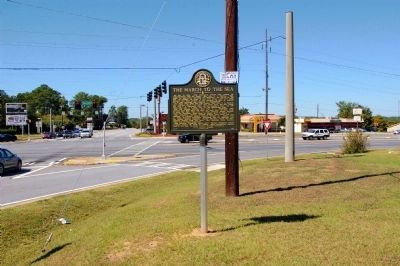
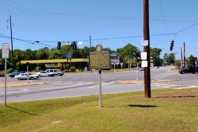
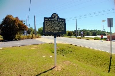
Location. 33° 31.933′ N, 84° 21.8′ W. Marker is in Jonesboro, Georgia, in Clayton County. Marker is at the intersection of Tara Boulevard (U.S. 41) and North Avenue (Georgia Route 138), on the right when traveling north on Tara Boulevard. Touch for map. Marker is in this post office area: Jonesboro GA 30236, United States of America. Touch for directions.
Other nearby markers. At least 8 other markers are within walking distance of this marker. Attack by Lee's Corps (approx. 0.2 miles away); Battle of Jonesboro The First Day (approx. 0.2 miles away); Battlefield Landmark (approx. half a mile away); Two Days of Battle at Jonesboro (approx. 0.6 miles away); The Warren House (approx. 0.6 miles away); Patrick Cleburne Confederate Cemetery (approx. 0.6 miles away); a different marker also named The Warren House (approx. 0.6 miles away); Unknown Confederate Soldiers Memorial (approx. 0.6 miles away). Touch for a list and map of all markers in Jonesboro.
More about this marker. This marker replaced an earlier marker of the same title and text erected by the Georgia Historical Commission in 1957, which had disappeared.
Credits. This page was last revised on May 6, 2020. It was originally submitted on October 10, 2010, by David Seibert of Sandy Springs, Georgia. This page has been viewed 1,332 times since then and 24 times this year. Photos: 1, 2, 3, 4. submitted on October 10, 2010, by David Seibert of Sandy Springs, Georgia. • Craig Swain was the editor who published this page.


