Olde Towne in Portsmouth, Virginia — The American South (Mid-Atlantic)
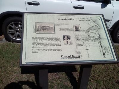
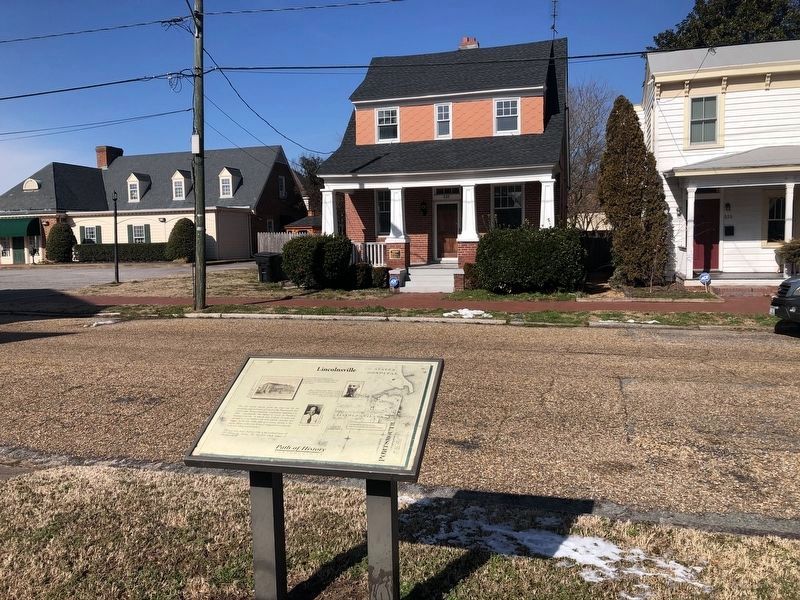
Lincolnsville
Erected by Path of History, Portsmouth VA.
Topics. This historical marker is listed in these topic lists: African Americans • Government & Politics. A significant historical year for this entry is 1890.
Location. 36° 50.294′ N, 76° 18.283′ W. Marker is in Portsmouth, Virginia. It is in Olde Towne. Marker is on North Street, on the right when traveling east. Near Emanuel AME Church. Touch for map. Marker is at or near this postal address: 637 North Street, Portsmouth VA 23704, United States of America. Touch for directions.
Other nearby markers. At least 8 other markers are within walking distance of this marker. Birthplace of Dr. James W. Holley III (a few steps from this marker); Emanuel African Methodist Episcopal Church (a few steps from this marker); Matilda Sissieretta Joyner Jones (within shouting distance of this marker); Emanuel A.M.E. Church (within shouting distance of this marker); Ruth Brown (within shouting distance of this marker); Richard Dale, U.S.N. (within shouting distance of this marker); St. John's Church (about 500 feet away, measured in a direct line); Saint Paul's School (about 700 feet away). Touch for a list and map of all markers in Portsmouth.
Credits. This page was last revised on February 1, 2023. It was originally submitted on October 13, 2010, by James Thomson of Chesapeake, United States. This page has been viewed 979 times since then and 33 times this year. Photos: 1. submitted on October 13, 2010, by James Thomson of Chesapeake, United States. 2. submitted on January 31, 2021, by Devry Becker Jones of Washington, District of Columbia. 3. submitted on October 13, 2010, by James Thomson of Chesapeake, United States. • Bill Pfingsten was the editor who published this page.


