Near Newport in Vermillion County, Indiana — The American Midwest (Great Lakes)
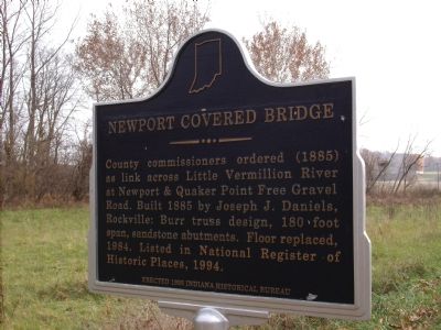
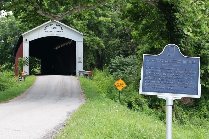
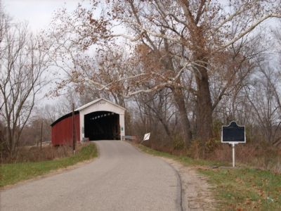
Newport Covered Bridge
Erected 1995 by Indiana Historical Bureau. (Marker Number 83.1995.1.)
Topics and series. This historical marker is listed in these topic lists: Agriculture • Bridges & Viaducts • Notable Buildings • Roads & Vehicles. In addition, it is included in the Covered Bridges, and the Indiana Historical Bureau Markers series lists. A significant historical year for this entry is 1885.
Location. 39° 53.456′ N, 87° 25.97′ W. Marker is near Newport, Indiana, in Vermillion County. Marker is on County Road 50 (AKA: Hopkins Street), 0.6 miles State Road 63, on the right when traveling west. From State Road 63 turn West onto County Road 50 (aka: Hopkins Street):: opposite direction from Newport. Stay on winding blacktop. You can Drive over this bridge. Touch for map. Marker is in this post office area: Newport IN 47966, United States of America. Touch for directions.
Other nearby markers. At least 8 other markers are within 5 miles of this marker, measured as the crow flies. Newport Hill Climb (approx. 1.3 miles away); Vermillion County Courthouse (approx. 1.3 miles away); Vermillion County Indiana - - War Memorial (approx. 1.3 miles away); Vermillion County Jail (approx. 1.4 miles away); Mill Creek Covered Bridge (approx. 4 miles away); Fulton Township (approx. 4.8 miles away); Honor Roll of Iraq and Afghanistan War Deaths from Indiana (approx. 4.9 miles away); American Legion Veterans (approx. 4.9 miles away). Touch for a list and map of all markers in Newport.
Credits. This page was last revised on June 16, 2022. It was originally submitted on November 20, 2007, by Al Wolf of Veedersburg, Indiana. This page has been viewed 1,712 times since then and 15 times this year. Photos: 1. submitted on November 20, 2007, by Al Wolf of Veedersburg, Indiana. 2. submitted on June 14, 2022, by Trevor L Whited of Kokomo, Indiana. 3. submitted on November 20, 2007, by Al Wolf of Veedersburg, Indiana. • Kevin W. was the editor who published this page.


