Marker Logo HMdb.org THE HISTORICAL
MARKER DATABASE
“Bite-Size Bits of Local, National, and Global History”
Columbus in Hickman County, Kentucky — The American South (East South Central)
 

"Gibraltar of the West"


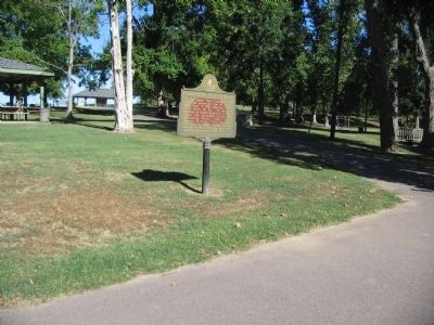
"Gibraltar of the West" Marker image. Click for full size.
Photographed By Craig Swain, September 4, 2010
1. "Gibraltar of the West" Marker
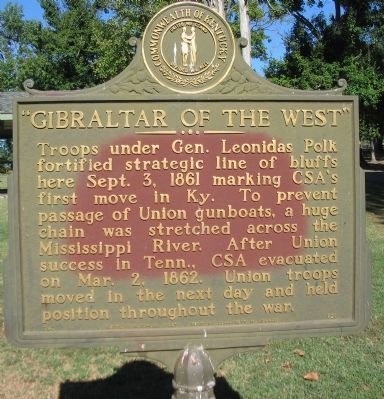
Inscription. Troops under Gen. Leonidas Polk fortified strategic line of bluffs here Sept. 3, 1861 marking CSA's first move in Ky. To prevent passage of Union gunboats, a huge chain was stretched across the Mississippi River. After Union success in Tenn., CSA evacuated on Mar. 2, 1862. Union troops moved in the next day and held position throughout the war.
 
Erected 1962 by Kentucky Historical Society - Kentucky Department of Highways. (Marker Number 528.)
 
Topics and series. This historical marker is listed in this topic list: War, US Civil. In addition, it is included in the Kentucky Historical Society series list. A significant historical month for this entry is March 1876.
 
Location. 36° 45.946′ N, 89° 6.656′ W. Marker is in Columbus, Kentucky, in Hickman County. Located in the parking lot for Columbus-Belmont State Park. Touch for map. Marker is in this post office area: Columbus KY 42032, United States of America. Touch for directions.
 
Other nearby markers. At least 8 other markers are within walking distance of this marker. The History of Columbus, Kentucky (within shouting distance of this marker); The Battle at Belmont, Missouri (within shouting distance of this marker); Anchor and Chain (within shouting distance of this marker); Confederate Trenches (about 300 feet away, measured in a direct line); Polk's Firepower
Paid Advertisement
Click on the ad for more information.
Please report objectionable advertising to the Editor.
Click or scan to see
this page online
(about 400 feet away); In Search Of .... (about 400 feet away); The Mississippi River in the Civil War (about 400 feet away); Fourth United States Colored Heavy Artillery (about 500 feet away). Touch for a list and map of all markers in Columbus.
 
"Gibraltar of the West" Marker image. Click for full size.
Photographed By Craig Swain, September 4, 2010
2. "Gibraltar of the West" Marker
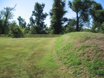
Interior of Restored Earthworks image. Click for full size.
Photographed By Craig Swain, September 4, 2010
3. Interior of Restored Earthworks
Confederates built fortifications on the bluffs overlooking the river and armed the fort with many heavy cannons.
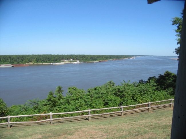
Mississippi River image. Click for full size.
Photographed By Craig Swain, September 4, 2010
4. Mississippi River
View of the river from the bluffs at Columbus. At the time of the war, the river made two sharp bends within view of the bluffs. Since the war, the river has meandered and straightened out the main channel.
 
 
Credits. This page was last revised on June 16, 2016. It was originally submitted on October 20, 2010, by Craig Swain of Leesburg, Virginia. This page has been viewed 1,822 times since then and 79 times this year. Photos:   1, 2, 3, 4. submitted on October 20, 2010, by Craig Swain of Leesburg, Virginia.
Share this page.  
Share on Tumblr
m=37098

CeraNet Cloud Computing sponsors the Historical Marker Database.
This website earns income from purchases you make after using our links to Amazon.com. We appreciate your support.
Paid Advertisement
Apr. 18, 2024