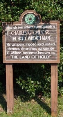
Milton in Sussex County, Delaware — The American Northeast (Mid-Atlantic)
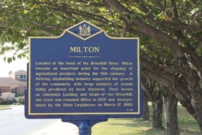
Milton
Erected by Delaware Public Archives. (Marker Number SC-83.)
Topics and series. This historical marker is listed in these topic lists: Industry & Commerce • Settlements & Settlers. In addition, it is included in the Delaware Public Archives series list. A significant historical month for this entry is March 1987.
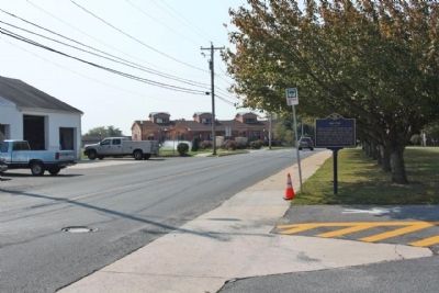
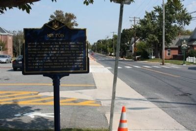
Location. 38° 46.275′ N, 75° 18.876′ W. Marker is in Milton, Delaware, in Sussex County. Marker is on Federal Street (Delaware Route 5) near New Street, on the right when traveling south. Touch for map. Marker is at or near this postal address: 601 Federal St, Milton DE 19968, United States of America. Touch for directions.
Other nearby markers. At least 8 other markers are within walking distance of this marker. Rising Sun Lodge #4, F. & A.M., P.H.A. (about 600 feet away, measured in a direct line); Queen Anne's Railroad (about 700 feet away); Goshen United Methodist Church (approx. ¼ mile away); Golden Rule Lodge #17, I.O.O.F. (approx. 0.3 miles away); Lank House (approx. 0.3 miles away); St. John The Baptist Episcopal Church (approx. 0.3 miles away); Governor James Ponder (approx. 0.4 miles away); Governor Joseph Maull Carey (approx. 0.4 miles away). Touch for a list and map of all markers in Milton.
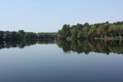
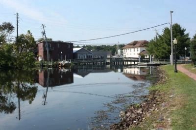
Also see . . . Milton Delaware history. Originally settled in 1672, it was once known as "Head of the Broadkill" for its geographic location at the head of the Broadkill River. This location, just a few miles from Delaware Bay and Atlantic Ocean, was ideal for shipbuilding in days of old. Many shipbuilders and sea captains lived and worked in Milton... renamed in honor of the English poet John Milton. Milton is the birthplace of five governors, a town divided in allegiance during the Civil War, home to many officers who participated in the famous War of 1812, and rich in both agricultural and political facts and figures... (Submitted on November 4, 2010, by Mike Stroud of Bluffton, South Carolina.)
Photographed By Mike Stroud, October 12, 2010
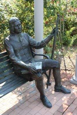
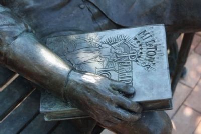
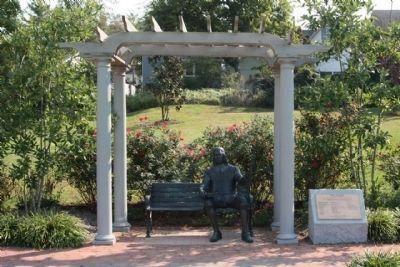
5. Town of Milton , named in honor of the English poet John Milton - Statue
at Governor's Walk Park, Sculptor- Paul Rendel
John Milton
Poet and Philosopher
December 9, 1608 - November 8, 1674
" Give me the liberty to know, to utter and to argue freely
according to conscience, above all liberties"
Poet and Philosopher
December 9, 1608 - November 8, 1674
" Give me the liberty to know, to utter and to argue freely
according to conscience, above all liberties"
Credits. This page was last revised on March 14, 2024. It was originally submitted on November 4, 2010, by Mike Stroud of Bluffton, South Carolina. This page has been viewed 922 times since then and 45 times this year. Last updated on March 14, 2024, by Pete Skillman of Townsend, Delaware. Photos: 1, 2, 3, 4, 5, 6, 7, 8, 9, 10. submitted on November 4, 2010, by Mike Stroud of Bluffton, South Carolina. • Devry Becker Jones was the editor who published this page.
