Rockville in Montgomery County, Maryland — The American Northeast (Mid-Atlantic)
Christ Episcopal Church
Vestrymen Arrested
— Gettysburg Campaign —
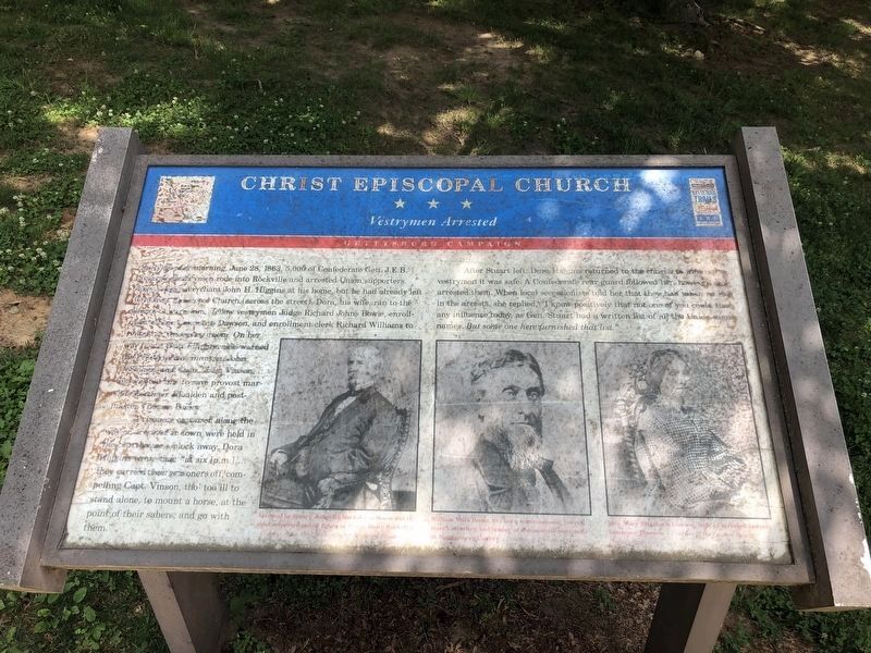
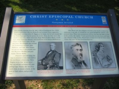
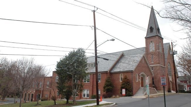
Early Sunday morning, June 28, 1863, 5,000 of Confederate Gen. J.E.B. Stuart's cavalrymen rode into Rockville and arrested Union supporters. They sought merchant John H. Higgins at his home, but he had already left for Christ Episcopal Church (across the street). Dora, his wife, ran to the church to warn him, fellow vestrymen Judge Richard Johns Bowie, enrollment officer Lawrence Dawson, and enrollment clerk Richard Williams to remain in the vestry room. On her way home, Dora Higgins also warned the Presbyterian minister, John DeSellum, and Capt. John Vinson, but was too late to save provost marshall Mortimer Moulden and postmaster Thomas Bailey.
Prisoners captured along the way or arrested in town were held in the courthouse a block away. Dora Higgins wrote that "at six [p.m.] ... they carried their prisoners off, compelling Capt. Vinson, tho' too ill to stand alone, to mount a horse, at the point of their sabers, and go with them."
After Stuart left, Dora Higgins returned to the church to inform the vestrymen it was safe. A Confederate rear guard followed her, however, and arrested them. When local secessionists told her that they had taken no role in the arrests, she replied, "I know positively that not one of you could have any influence today, as Gen. Stuart had a written list of all the Union men's names. But some one here furnished that list."
Erected by Maryland Civil War Trails.
Topics and series. This historical marker is listed in these topic lists: Churches & Religion • War, US Civil. In addition, it is included in the Maryland Civil War Trails series list. A significant historical date for this entry is June 28, 1866.
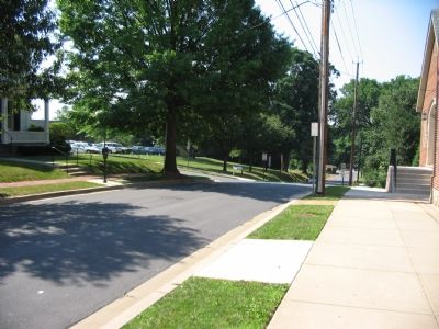
Location. 39° 4.94′ N, 77° 9.177′ W. Marker is in Rockville, Maryland, in Montgomery County. Marker is on South Washington Street near Vinson Street, on the right when traveling south. Touch for map. Marker is at or near this postal address: 109 South Washington Street, Rockville MD 20850, United States of America. Touch for directions.
Other nearby markers. At least 8 other markers are within walking distance of this marker. A different marker also named Christ Episcopal Church (a few steps from this marker); Dr. James Anderson House (within shouting distance of this marker); Lamar House (about 300 feet away, measured in a direct line); Adam Robb's Tavern (about 300 feet away); Rockville (about 400 feet away); Hungerford Tavern / Susan Russell House (about 400 feet away); Boundary Stone (about 400 feet away); Hungerford Tavern (about 400 feet away). Touch for a list and map of all markers in Rockville.
More about this marker. In the lower section of the marker are three portraits:
Arrested by Stuart, Judge Richard Johns Bowie

Photographed By Devry Becker Jones (CC0), June 4, 2021
2. Christ Episcopal Church Marker
The marker has weathered and been soiled but remains generally legible.
William Veirs Bouic, Sr., town commissioner, lawyer, state's attorney, and leader of secessionist movement in Montgomery County. Courtesy of Peerless Rockville.
Mrs. Mary Elizabeth Dawson, wife of arrested lawyer Lawrence Dawson. Courtesy of the Dawson Family, Peerless Rockville.
Also see . . .
1. The Civil War in Rockville. Peerless Rockville website entry (Submitted on January 16, 2006.)
2. History of Christ Church. Church website entry (Submitted on January 16, 2006.)
Credits. This page was last revised on July 8, 2022. It was originally submitted on January 16, 2006, by Tom Fuchs of Greenbelt, Maryland. This page has been viewed 3,023 times since then and 14 times this year. Last updated on July 6, 2022, by Carl Gordon Moore Jr. of North East, Maryland. Photos: 1. submitted on July 15, 2007, by Craig Swain of Leesburg, Virginia. 2. submitted on June 4, 2021, by Devry Becker Jones of Washington, District of Columbia. 3. submitted on July 7, 2007, by Craig Swain of Leesburg, Virginia. 4. submitted on January 18, 2006, by Tom Fuchs of Greenbelt, Maryland. • Bernard Fisher was the editor who published this page.


