Mendota in Dakota County, Minnesota — The American Midwest (Upper Plains)
"Where the Waters Meet"
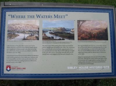
Archaeological research has uncovered evidence of habitation at this location going back at least 9,000 years. Artifacts such as French gunflints and other trade goods clearly show this was one of the earliest fur-trading locations in Minnesota, perhaps as early as the 1660s.
The John Casper Wild painting above shows how much the site has changed since its heyday in the 1830s. The warehouses once stood directly on the riverbank, approximately where the railroad tracks run today. Much of the landscape changed in the early 20th century when barge channels were cut and natural burns were stopped in the state park along the river.
The trees now block what was once a tremendous view of the junction of the Minnesota and Mississippi Rivers with Fort Snelling standing over them on the opposite bluff. The river was the lifeblood of the fur trade, and was the major travel artery until the railroad came to Minnesota in the 1860s.
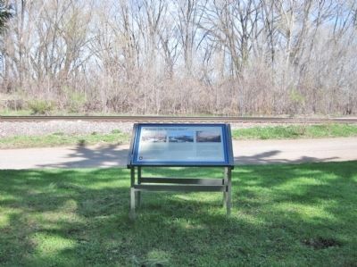
Today the land along the rivers are part of Fort Snelling State Park. Although the contact station and visitor center are across the river, rough trails for running, hiking, and walking follow the banks of this back channel between the Minnesota and Mississippi.
Historic Fort Snelling
Minnesota Historical Society
Sibley House Historic Site
All images are from the collections of the Minnesota Historical Society
Topics and series. This historical marker is listed in these topic lists: Industry & Commerce • Native Americans • Settlements & Settlers. In addition, it is included in the Minnesota Historical Society series list.
Location. 44° 53.263′ N, 93° 10.004′ W. Marker is in Mendota, Minnesota, in Dakota County. Marker is on D Street, 0.2 miles north of 1st Street / Sibley Memorial Highway (State Highway 13). Touch for map. Marker is at or near this postal address: 1357 Sibley Memorial Highway, Mendota MN 55150, United States of America. Touch for directions.
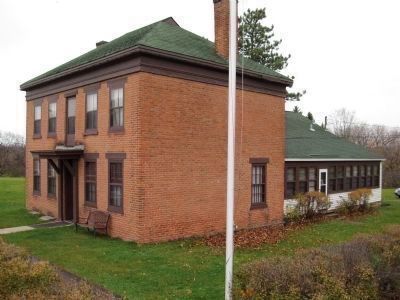
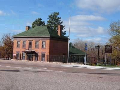
Other nearby markers. At least 8 other markers are within walking distance of this marker. Faribault House (here, next to this marker); a different marker also named Faribault House (here, next to this marker); Mendota / Sibley House Association (within shouting distance of this marker); The First Stone House (within shouting distance of this marker); Henry Sibley and Old Mendota (about 300 feet away, measured in a direct line); General Henry Hastings Sibley (about 300 feet away); Paper Towns & Other Imaginary Worlds / Frontier Fortunes and Mississippi Mansions (about 400 feet away); A Great River's Road / Mendota, the Meeting Place (about 400 feet away). Touch for a list and map of all markers in Mendota.
More about this marker. [photo captions, left to right]
Pilot Knob, Mouth of the St. Peter's River by Seth Eastman, watercolor, 1848.
View of Fort Snelling by J.C. Wild, 1844; At left is the Sibley warehouse, Pike Island is in the middle foreground while Fort Snelling stands above the junction of the Mississippi and St. Peter's (now Minnesota) Rivers.
View of Mendota from the Fort by Seth Eastman, 1848; In this view one sees the Sibley and Faribault houses and warehouses built next to the river.
Credits. This page was last revised on November 21, 2020. It was originally submitted on November 7, 2010, by Keith L of Wisconsin Rapids, Wisconsin. This page has been viewed 1,261 times since then and 24 times this year. Photos: 1. submitted on November 6, 2010, by Keith L of Wisconsin Rapids, Wisconsin. 2. submitted on August 16, 2011, by Keith L of Wisconsin Rapids, Wisconsin. 3, 4. submitted on November 7, 2010, by Keith L of Wisconsin Rapids, Wisconsin.


