Murfreesboro in Rutherford County, Tennessee — The American South (East South Central)
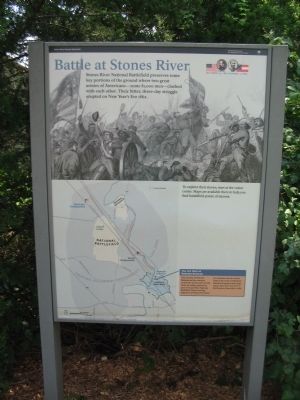
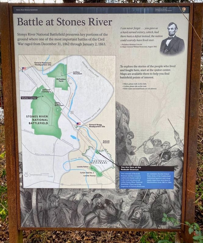
Battle at Stones River
December 31, 1862 - January 2, 1863
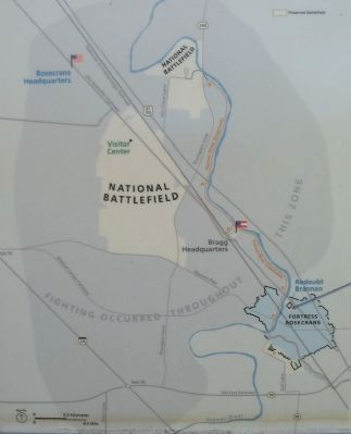
To explore their stories, start at the visitor center. Maps are available there to help you find battlefield points of interest.
You are here at Redoubt Brannan
This remnant of Redoubt Brannan and the extensive earthworks found south of Lytle Creek are today preserved as parts of Stones River National Battlefield. These surviving fragments of Fortress Rosecrans are reminders that the United States Army of the Cumberland maintained quarters and a large supply depot here next door to Murfreesboro from 1863 to 1864.
Erected by Stones River National Battlefield - National Park Service - U.S. Department of the Interior.
Topics. This historical marker is listed in this topic list: War, US Civil. A significant historical year for this entry is 1862.
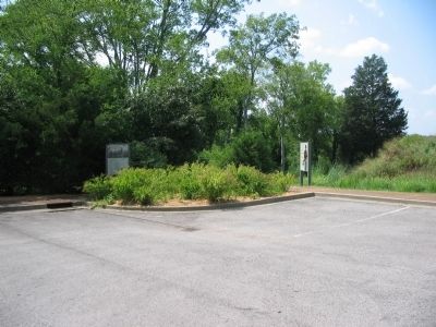
Location. 35° 51.508′ N, 86° 24.568′ W. Marker is in Murfreesboro, Tennessee, in Rutherford County. Marker is on West College Street, on the right when traveling south. Located at the parking area for Redoubt Brannan in the Stones River National Battlefield. Touch for map. Marker is in this post office area: Murfreesboro TN 37129, United States of America. Touch for directions.
Other nearby markers. At least 8 other markers are within walking distance of this marker. Redoubt Brannan (a few steps from this marker); Waging War by Rail (within shouting distance of this marker); Bum Proof Stockade (within shouting distance of this marker); They Passed This Way (within shouting distance of this marker); a different marker also named Battle at Stones River (approx. 0.2 miles away); A Vast Depot (approx. 0.4 miles away); "Charles Egbert Craddock" (approx. 0.4 miles away); Lunette Palmer (approx. 0.4 miles away). Touch for a list and map of all markers in Murfreesboro.
More about this marker. The basic marker seen here is used for orientation at the battlefield. It is repeated at several locations, with different text in the map call out.
Also see . . . Stones River National Battlefield. National Park Service website. (Submitted on November 7, 2010, by Craig Swain of Leesburg, Virginia.)
Credits. This page was last revised on March 15, 2021. It was originally submitted on November 7, 2010, by Craig Swain of Leesburg, Virginia. This page has been viewed 734 times since then and 31 times this year. Photos: 1. submitted on November 7, 2010, by Craig Swain of Leesburg, Virginia. 2. submitted on March 13, 2021, by Shane Oliver of Richmond, Virginia. 3, 4. submitted on November 7, 2010, by Craig Swain of Leesburg, Virginia.


