Murfreesboro in Rutherford County, Tennessee — The American South (East South Central)
Redoubt Brannan
Fortress Rosecans
— 1863 - 1866 —
- Harvey Reid, corporal, 22nd Wisconsin Infantry, Company A
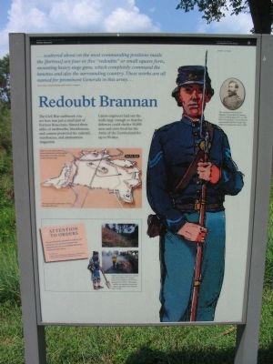
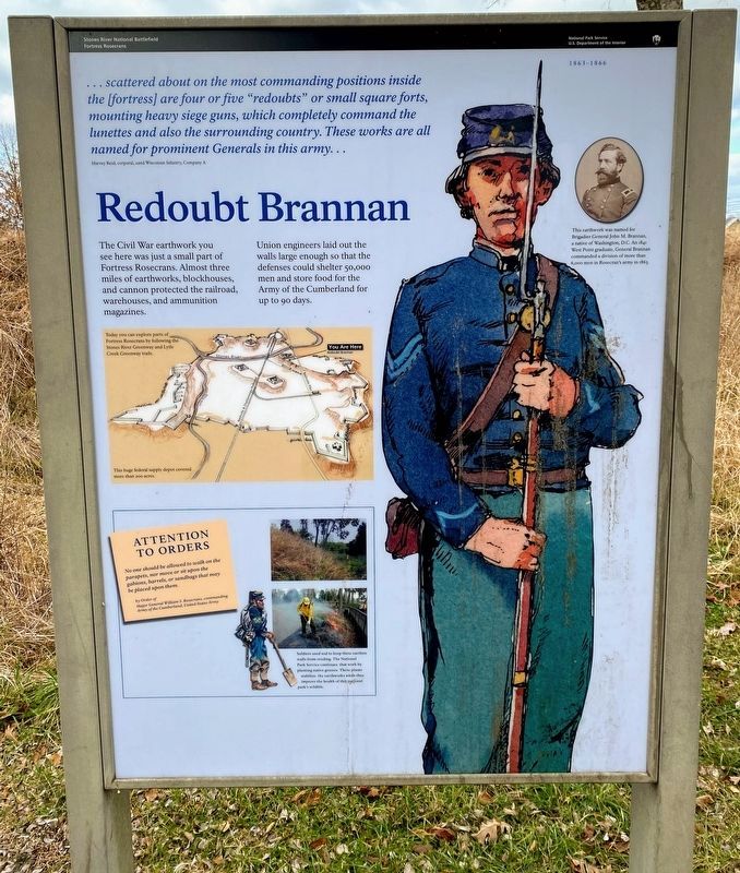
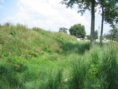
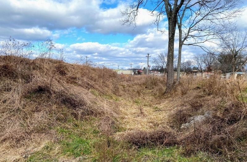
The Civil War earthwork you see here was just a small part of Fortress Rosecrans. Almost three miles of earthworks, blockhouses, and cannon protected the railroad, warehouses, and ammunition magazines.
Union engineers laid out the walls large enough so that the defenses could shelter 50,000 men and store food for the Army of the Cumberland for up to 90 days.
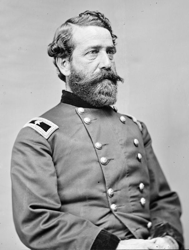
This earthwork was named for Brigadier General John M. Brannan, a native of Washington, D.C. An 1841 West Point graduate, General Brannan commanded a division of more than 6,000 men in Rosecran's army in 1863.
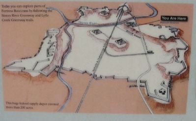
Today you can explore parts of Fortress Rosecrans by following the Stones River Greenway and Lytle Creek Greenway trails.
Attention to Orders
No one should be allowed to walk on the parapets, nor move or sit upon the gabions, barrels, or sandbags that may be placed upon them.
by Order of
Major General William S. Rosecrans, commanding Army of the Cumberland, United States Army.
Soldiers used sod to keep these earthen walls from eroding. The National Park Service continues that work by planting native grasses. These plants stabilize the earthworks while they improve the health of this national park's wildlife.
Erected by Stones River National Battlefield - National Park Service - U.S. Department of the Interior.
Topics. This historical marker is listed in these topic lists: Forts and Castles • War, US Civil. A significant historical year for this entry is 1841.
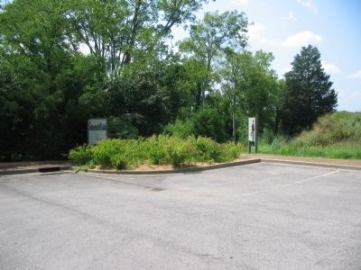
Location. 35° 51.513′ N, 86° 24.567′ W. Marker is in Murfreesboro, Tennessee, in Rutherford County. Marker is on West College Street, on the right when traveling south. Located at the parking area for Redoubt Brannan in the Stones River National Battlefield. Touch for map. Marker is in this post office area: Murfreesboro TN 37129, United States of America. Touch for directions.
Other nearby markers. At least 8 other markers are within walking distance of this marker. Battle at Stones River (a few steps from this marker); Waging War by Rail (within shouting distance of this marker); Bum Proof Stockade (within shouting distance of this marker); They Passed This Way (within shouting distance of this marker); a different marker also named Battle at Stones River (approx. 0.2 miles away); A Vast Depot (approx. 0.4 miles away); "Charles Egbert Craddock" (approx. 0.4 miles away); Lunette Palmer (approx. 0.4 miles away). Touch for a list and map of all markers in Murfreesboro.
Also see . . . Fortress Rosecrans. National Park Service page. (Submitted on November 7, 2010, by Craig Swain of Leesburg, Virginia.)
Credits. This page was last revised on March 23, 2024. It was originally submitted on November 7, 2010, by Craig Swain of Leesburg, Virginia. This page has been viewed 1,293 times since then and 34 times this year. Photos: 1. submitted on November 7, 2010, by Craig Swain of Leesburg, Virginia. 2. submitted on March 13, 2021, by Shane Oliver of Richmond, Virginia. 3, 4, 5. submitted on November 7, 2010, by Craig Swain of Leesburg, Virginia. 6. submitted on March 13, 2021, by Shane Oliver of Richmond, Virginia. 7. submitted on March 23, 2024, by Allen C. Browne of Silver Spring, Maryland.
