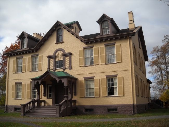
Kinderhook in Columbia County, New York — The American Northeast (Mid-Atlantic)
Lindenwald and the Old Post Road
Martin Van Buren Nat’l Hist Site
— National Park Service —
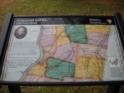
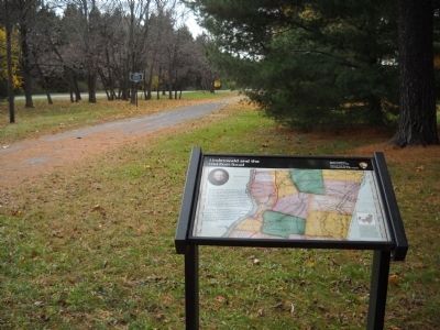
You are standing along one of the few remaining unpaved stretches of the Old Post Road. In 1839 when Martin Van Buren bought this property, the Old Post Road was the main route on the east side of the Hudson River between Manhattan and Albany, the state capital. Prominent citizens and politicians traveling along the Old Post Road would stop at Lindenwald to pay their respects to the former President.
Van Buren had many reasons for choosing to buy this old house and farm in his hometown during the waning days of his presidency. Chief among them must have been its location along this important and highly traveled thoroughfare.
Erected by National Park Service.
Topics and series. This historical marker is listed in these topic lists: Notable Buildings • Roads & Vehicles. In addition, it is included in the Former U.S. Presidents: #08 Martin Van Buren series list. A significant historical year for this entry is 1839.
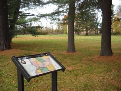
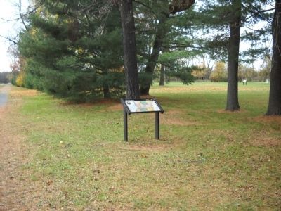
Location. 42° 22.173′ N, 73° 42.172′ W. Marker is in Kinderhook, New York, in Columbia County. Marker is on Old Post Road, on the right when traveling south. Marker is on the grounds of the Martin Van Buren National Historic Site. Touch for map. Marker is in this post office area: Kinderhook NY 12106, United States of America. Touch for directions.
Other nearby markers. At least 8 other markers are within walking distance of this marker. Lindenwald (within shouting distance of this marker); 1849-50 A House Transformed (within shouting distance of this marker); Fertile Political Ground (within shouting distance of this marker); Marble Mounting Block (about 300 feet away, measured in a direct line); A Bustling Household (about 400 feet away); Uncovering the Past (about 400 feet away); Fallen White Mulberry Tree (about 400 feet away); Welcome to Lindenwald (about 500 feet away). Touch for a list and map of all markers in Kinderhook.
More about this marker. The background of the marker contains a map with the caption “The route of the Old Post Road through Columbia County is highlighted on this map from the 1839 Atlas of the State of New York.” A portrait of Van Buren appears at the upper left of the marker. The lower right contains a picture of basswood leaves and has a caption of “Van Buren named his farm for the linden or basswood tree (Tilia Americana) that grew here although originally thought to name the farm for the black locust trees (Robinia pseudoacacia) planted along the carriage paths in front of the mansion.”
Also see . . .
1. Biography of Martin Van Buren. The White House website entry (Submitted on November 9, 2010, by Bill Coughlin of Woodland Park, New Jersey.)
2. Martin Van Buren National Historic Site
. National Park Service website homepage (Submitted on November 9, 2010, by Bill Coughlin of Woodland Park, New Jersey.)
3. Van Buren, Martin, National Historic Site - National Park Service. Download National Register of Historic Places documentation (Submitted on January 17, 2024, by Anton Schwarzmueller of Wilson, New York.)
Credits. This page was last revised on January 17, 2024. It was originally submitted on November 9, 2010, by Bill Coughlin of Woodland Park, New Jersey. This page has been viewed 988 times since then and 22 times this year. Photos: 1, 2, 3, 4, 5. submitted on November 9, 2010, by Bill Coughlin of Woodland Park, New Jersey.
