El Paso in El Paso County, Texas — The American South (West South Central)
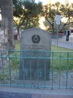
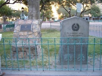
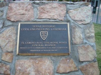
El Camino Real
(The King's Highway)
Erected 1936 by The State of Texas. (Marker Number 643.)
Topics and series. This historical marker is listed in this topic list: Roads & Vehicles. In addition, it is included in the El Camino Real de Tierra Adentro, and the Texas 1936 Centennial Markers and Monuments series lists. A significant historical year for this entry is 1581.
Location. 31° 45.566′ N, 106° 29.318′ W. Marker is in El Paso, Texas, in El Paso County. Marker is at the intersection of North Oregon Street and Mills Avenue, on the right when traveling north on North Oregon Street. Marker is at the southwest corner of San Jacinto Plaza. Touch for map. Marker is in this post office area: El Paso TX 79901, United States of America. Touch for directions.
Other nearby markers. At least 8 other markers are within walking distance of this marker. Historic Sidewalk Clock (a few steps from this marker); San Jacinto Plaza (a few steps from this marker); El Paso's Chinese Community (within shouting distance of this marker); The First United States Soldiers to Be Stationed at the Pass of the North (within shouting distance of this marker); Site of United States Courthouse (within shouting distance of this marker); El Paso County (within shouting distance of this marker); Hotel Cortez (within shouting distance of this marker); The Woman's Club of El Paso (about 300 feet away, measured in a direct line). Touch for a list and map of all markers in El Paso.
Credits. This page was last revised on January 15, 2024. It was originally submitted on November 11, 2010, by Bill Kirchner of Tucson, Arizona. This page has been viewed 1,028 times since then and 34 times this year. Last updated on January 15, 2024, by Jeff Leichsenring of Garland, Texas. Photos: 1, 2, 3. submitted on November 11, 2010, by Bill Kirchner of Tucson, Arizona. • James Hulse was the editor who published this page.


