Murfreesboro in Rutherford County, Tennessee — The American South (East South Central)
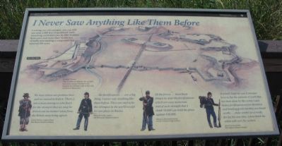
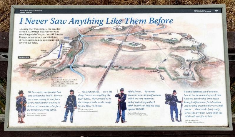
I Never Saw Anything Like Them Before
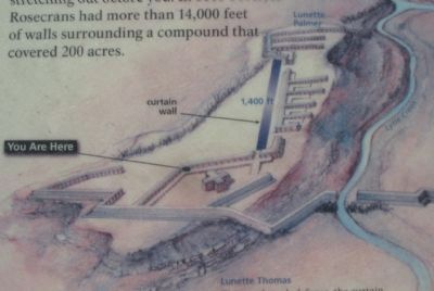
Lunette Thomas
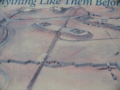
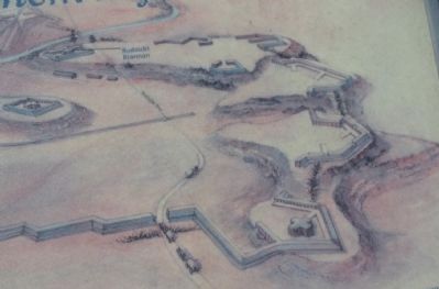
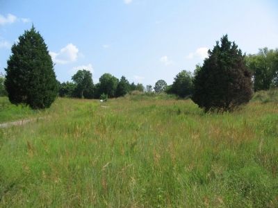
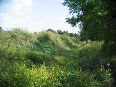
This earthwork defense, the curtain walls, and Lunette Palmer in the distance are all that is left of this side of Fortress Rosecrans.
We have taken our position here and we intend to hold it. There is not a man among us who fears for the moment that we may be driven out no matter what force the Rebels may bring against.
Lyman Widney, sergeant-major
14th Illinois Volunteer Infantry
....the fortifications... are a big thing. I never saw anything like them before. They are said to be the strongest in the world except for one place in Russia.
Hiram M. Gibbs, captain
21st Wisconsin Volunteer Infantry
All the forces....have been drawn in near the fortifications which are very numerous and of such strength that I think 50,000 can hold the place against 100,000.
Alpheus S. Bloomfield, private
1st Ohio Volunteer Light Artillery
It would Supprise you if you was here to See the amount of work that has been done by this army i seen heavy fortification at fort donelson and bowling green but they are Small works... these works [are] ready for [a] fite any time. i dont think the rebels will ever fite us here...
James H. Jones, private
57th Indiana Volunteer Infantry
Erected by Stones River National Battlefield - National Park Service - U.S. Department of the Interior.
Topics. This historical marker is listed in these topic lists: Forts and Castles • War, US Civil. A significant historical year for this entry is 1863.
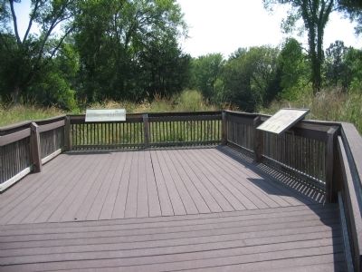
Location. 35° 51.05′ N, 86° 24.563′ W. Marker is in Murfreesboro, Tennessee, in Rutherford County. Marker can be reached from Golf Lane (Old Fort Street), on the right when traveling north. Located along the trail in the Fortress Rosecrans unit of the Stones River National Battlefield. Touch for map. Marker is in this post office area: Murfreesboro TN 37129, United States of America. Touch for directions.
Other nearby markers. At least 8 other markers are within walking distance of this marker. New Citizen Soldiers (here, next to this marker); Covered by Cross Fires (within shouting distance of this marker); Living Under the Guns (about 300 feet away, measured in a direct line); Lunette Thomas (about 400 feet away); Toil and Mud (about 600 feet away); Fortress Rosecrans (about 600 feet away); Defense of Fortress Rosecrans (about 700 feet away); a different marker also named Fortress Rosecrans (about 700 feet away). Touch for a list and map of all markers in Murfreesboro.
Also see . . . Fortress Rosecrans. National Park Service page. (Submitted on November 12, 2010, by Craig Swain of Leesburg, Virginia.)
Credits. This page was last revised on March 16, 2021. It was originally submitted on November 12, 2010, by Craig Swain of Leesburg, Virginia. This page has been viewed 974 times since then and 10 times this year. Photos: 1. submitted on November 12, 2010, by Craig Swain of Leesburg, Virginia. 2. submitted on March 14, 2021, by Shane Oliver of Richmond, Virginia. 3, 4, 5, 6, 7, 8. submitted on November 12, 2010, by Craig Swain of Leesburg, Virginia.
