El Paso in El Paso County, Texas — The American South (West South Central)
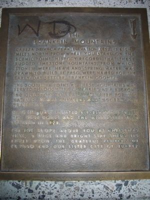
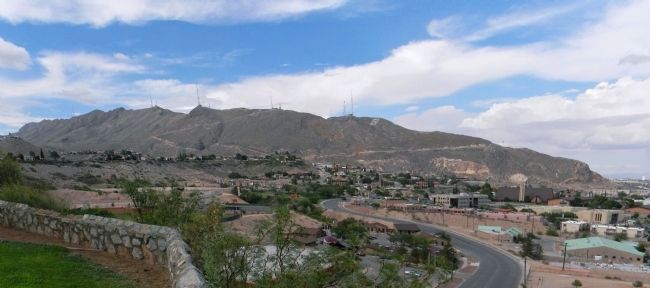
The Franklin Mountains
The southern point of these mountains has served through the centuries as a beckoning guidepost to a friendly haven for the natives, weary pioneers and modern-day travelers.
Here the first lighted air-beacon between the West Coast and the Mississippi was erected in 1928.
On the slope above you, at Christmas time, a huge and bright star sheds its light upon the grateful peoples of El Paso and our sister city of Juarez.
Erected 1962 by The State National Bank of El Paso.
Topics. This historical marker is listed in this topic list: Notable Places. A significant historical year for this entry is 1928.
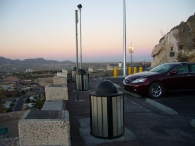
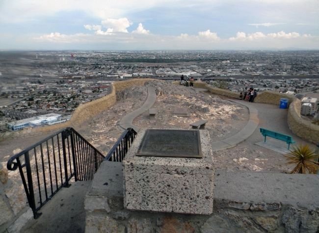
Location. 31° 46.956′ N, 106° 28.786′ W. Marker is in El Paso, Texas, in El Paso County. Marker is on Scenic Drive, on the right when traveling east. Touch for map. Marker is at or near this postal address: 2208 Scenic Drive, El Paso TX 79902, United States of America. Touch for directions.
Other nearby markers. At least 8 other markers are within walking distance of this marker. The Rio Grande Irrigation Project (here, next to this marker); The Rainmakers of 1891 (here, next to this marker); El Paso Lower Valley Missions/ Cordova Island/ The City and County of El Paso (here, next to this marker); The Rio Grande Rectification Project (a few steps from this marker); The Chamizal Settlement (a few steps from this marker); Mount Cristo Rey/ The Gadsden Purchase/ El Paso Smelting Works (a few steps from this marker); El Paso International Airport / The Butterfield Trail / Refinery Area (a few steps from this marker); The City of El Paso / Ciudad Juarez, Mexico (a few steps from this marker). Touch for a list and map of all markers in El Paso.
Credits. This page was last revised on June 16, 2016. It was originally submitted on November 13, 2010, by Bill Kirchner of Tucson, Arizona. This page has been viewed 832 times since then and 24 times this year. Photos: 1, 2. submitted on November 13, 2010, by Bill Kirchner of Tucson, Arizona. 3. submitted on September 2, 2013, by PaulwC3 of Northern, Virginia. 4. submitted on August 24, 2013, by PaulwC3 of Northern, Virginia. • Syd Whittle was the editor who published this page.


