Near San Simon in Cochise County, Arizona — The American Mountains (Southwest)
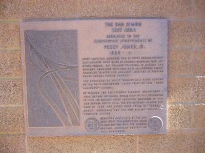
The San Simon Rest Area - Percy Jones, Jr.
Engineering Achievements of
Percy Jones, Jr.
1888 –
Chief locating engineer who by sheer genius personally located more miles of Arizona highways than any other person. His college training in mining and geology combined with instincts as a pioneer desert traveler to give him uncanny abilities at pushing roads across virgin country.
The spectacular drive through Salt River Canyon on U.S. 60 is considered a high point of this "born locator's" career.
He worked for the Arizona Highway Department a year before entering World War I in 1917, returning in 1925. He became chief locating engineer in 1931 and served until 1948; the department called him back in 1955 for three more years to "trouble shoot" corridors for the new billion dollar interstate system.
Erected 1974 by Arizona State Transportation Board in cooperation with the Arizona Section, American Society of Civil Engineers.
Topics and series. This historical marker is listed in these topic lists: Roads & Vehicles • War, World I. In addition, it is included in the ASCE Civil Engineering Landmarks series list. A significant historical year for this entry is 1888.
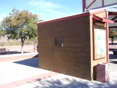
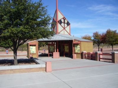
Location. 32° 14.341′ N, 109° 5.201′ W. Marker is near San Simon, Arizona, in Cochise County. Marker is located at the westbound rest area. Touch for map. Marker is in this post office area: San Simon AZ 85632, United States of America. Touch for directions.
Other nearby markers. At least 1 other marker is within walking distance of this marker. A different marker also named The San Simon Rest Area - Percy Jones, Jr. (approx. 0.3 miles away).
More about this marker. A "twin" marker is located at the eastbound rest area.
Credits. This page was last revised on November 2, 2019. It was originally submitted on November 13, 2010, by Bill Kirchner of Tucson, Arizona. This page has been viewed 891 times since then and 31 times this year. Photos: 1, 2, 3. submitted on November 13, 2010, by Bill Kirchner of Tucson, Arizona. • Syd Whittle was the editor who published this page.


