Galivants Ferry in Horry County, South Carolina — The American South (South Atlantic)
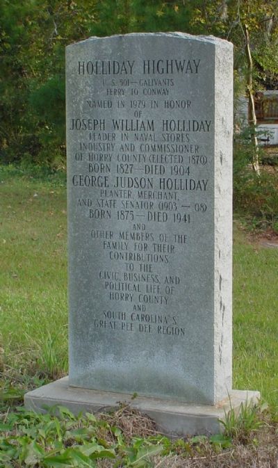
Holliday Highway
Erected 1979.
Topics. This historical marker is listed in these topic lists: Agriculture • Industry & Commerce • Roads & Vehicles. A significant historical year for this entry is 1979.
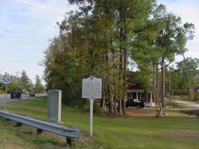
Location. 34° 3.309′ N, 79° 14.694′ W. Marker is in Galivants Ferry, South Carolina, in Horry County. Marker is at the intersection of Highway 501 (U.S. 501) and South Carolina Highway 216, on the right when traveling south on Highway 501. Touch for map. Marker is in this post office area: Galivants Ferry SC 29544, United States of America. Touch for directions.
Other nearby markers. At least 8 other markers are within 12 miles of this marker, measured as the crow flies. Galivants Ferry (here, next to this marker); Galivants Ferry Stump Meeting (about 500 feet away, measured in a direct line); Levister Elementary School (approx. 5.1 miles away); Mullins Depot / Mullins (approx. 10.4 miles away); Tobacco Culture (approx. 10.4 miles away); Mt. Olive Baptist Church (approx. 10.7 miles away); World War Memorial (approx. 12.1 miles away); Veterans Memorial Triangle (approx. 12.1 miles away). Touch for a list and map of all markers in Galivants Ferry.
Credits. This page was last revised on December 14, 2019. It was originally submitted on November 29, 2005. This page has been viewed 6,499 times since then and 302 times this year. Last updated on November 14, 2010. Photos: 1, 2. submitted on November 29, 2005.

