Dover in Stewart County, Tennessee — The American South (East South Central)
Wharton's Brigade
Pillow's Division
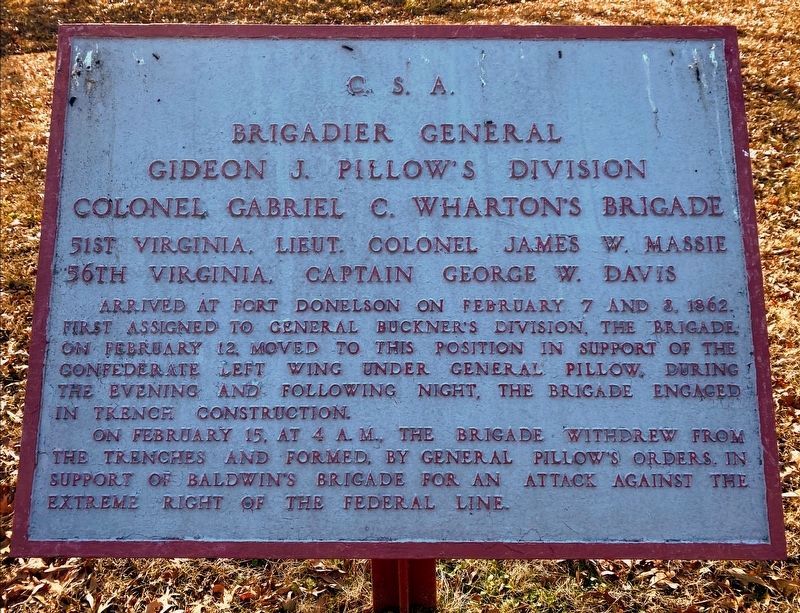
Brigadier General
Gideon J. Pillow's Division
Colonel Gabriel C. Wharton's Brigade
56th Virginia, Captain George W. Davis
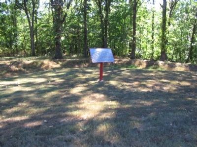
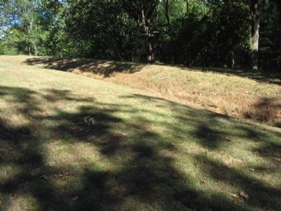
Arrived at Fort Donelson on February 7 and 8, 1862. First assigned to General Buckner's Division, the brigade, on February 12, moved to this position in support of the Confederate left wing under General Pillow. During the evening and following night, the brigade engaged in trench construction.
On February 15, at 4 a.m. the brigade withdrew from the trenches and formed, by General Pillow's orders, in support of Baldwin's Brigade for an attack against the extreme right of the Federal line.
Topics. This historical marker is listed in this topic list: War, US Civil. A significant historical year for this entry is 1862.
Location. 36° 28.78′ N, 87° 50.708′ W. Marker is in Dover, Tennessee, in Stewart County. Marker is at the intersection of Cedar Street and Wynn's Ferry Loop, on the right when traveling south on Cedar Street. Located on a footpath (actually formerly a park road) extending from Cedar Street at stop eight, French's Battery, on the driving tour of Fort Donelson National Battlefield. Touch for map. Marker is in this post office area: Dover TN 37058, United States of America. Touch for directions.
Other nearby markers. At least 8 other markers are within walking distance of this marker. French's Battery (within shouting distance of this marker); Confederate Breakout (about 400 feet away, measured in a direct line); a different marker also named Confederate Breakout (about 400 feet away); Original Position (about 700 feet away); Baldwin's Brigade (approx. 0.2 miles away); Forrest's Cavalry (approx. ¼ mile away); Morrison's Brigade (approx. ¼ mile away); Maney's Battery (approx. ¼ mile away). Touch for a list and map of all markers in Dover.
Also see . . . Fort Donelson. National Park Service site. (Submitted on November 30, 2010, by Craig Swain of Leesburg, Virginia.)
Credits. This page was last revised on May 10, 2021. It was originally submitted on November 30, 2010, by Craig Swain of Leesburg, Virginia. This page has been viewed 760 times since then and 21 times this year. Photos: 1. submitted on May 10, 2021, by Shane Oliver of Richmond, Virginia. 2, 3, 4. submitted on November 30, 2010, by Craig Swain of Leesburg, Virginia.


