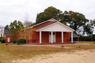
Near Brooklet in Bulloch County, Georgia — The American South (South Atlantic)
Upper Black Creek Primitive Baptist Church
Inscription.
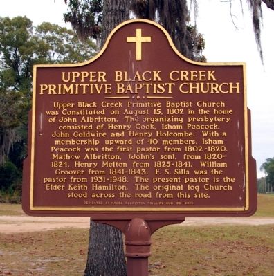
Upper Black Creek Primitive Baptist Church was constituted on August 15, 1802 in the home of John Albritton. The organizing presbytery consisted of Henry Cook, Isham Peacock, John Goldwire and Henry Holcombe. With a membership upward of 40 members. Isham Peacock was the first pastor from 1802-1820. Mathew Albritton, (John’s son), from 1820-1824. Henry Melton from 1825-1841. William
Groover from 1841-1843. F.S. Sills was the pastor from 1931-1948. The present pastor is the Elder Keith Hamilton. The original log Church stood across the road from this site.
Erected 2005 by Hazel Albritton Phillips.
Topics. This historical marker is listed in this topic list: Churches & Religion. A significant historical year for this entry is 1802.
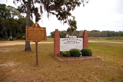
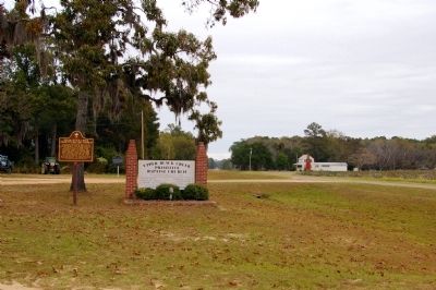
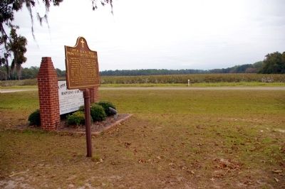
Location. 32° 17.733′ N, 81° 40.8′ W. Marker is near Brooklet, Georgia, in Bulloch County. Marker is on Mud Road, 0.1 miles west of Black Creek Church Road, on the right when traveling west. Touch for map. Marker is at or near this postal address: 2925 Mud Road, Brooklet GA 30415, United States of America. Touch for directions.
Other nearby markers. At least 8 other markers are within 8 miles of this marker, measured as the crow flies. Upper Black Creek Church (within shouting distance of this marker); John Abbot (1751-1839) (approx. 4.6 miles away); John Abbot 1751 - 1840 (approx. 4.9 miles away); Nevils Station & Shearwood Railroad (approx. 5.2 miles away); Harville House (approx. 5.9 miles away); Brooklet, Georgia (approx. 5.9 miles away); Stilson, Georgia (approx. 7.9 miles away); Kiwanis Ogeechee Fair / Kiwanis Club of Statesboro (approx. 8 miles away). Touch for a list and map of all markers in Brooklet.
Credits. This page was last revised on June 16, 2016. It was originally submitted on December 1, 2010, by David Seibert of Sandy Springs, Georgia. This page has been viewed 1,871 times since then and 66 times this year. Photos: 1, 2, 3, 4, 5. submitted on December 1, 2010, by David Seibert of Sandy Springs, Georgia. • Craig Swain was the editor who published this page.
