West Bend in Washington County, Wisconsin — The American Midwest (Great Lakes)
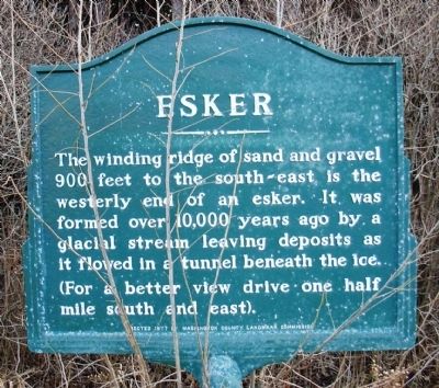
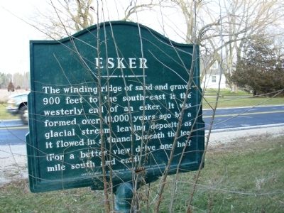
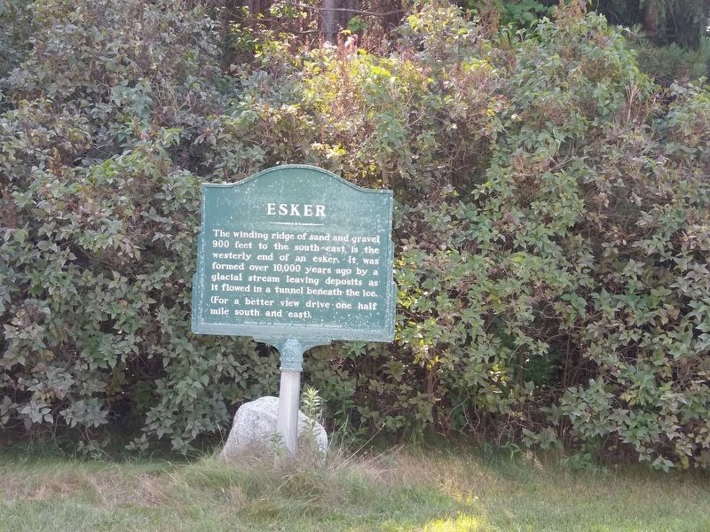
Esker
Erected 1978 by Washington County Landmark Commission.
Topics. This historical marker is listed in this topic list: Natural Features.
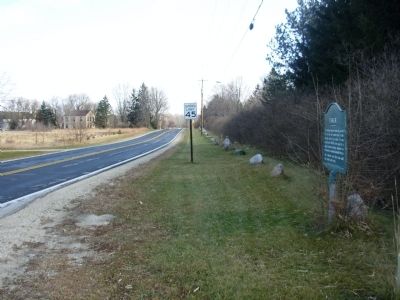
Location. 43° 24.829′ N, 88° 6.352′ W. Marker is in West Bend, Wisconsin, in Washington County. Marker is at the intersection of Decorah Road (County Route I) and Evergreen Drive, on the right when traveling east on Decorah Road. Touch for map. Marker is in this post office area: West Bend WI 53095, United States of America. Touch for directions.
Other nearby markers. At least 8 other markers are within 4 miles of this marker, measured as the crow flies. St. Peter's Church (approx. 3 miles away); Verbeck Residence (approx. 3.1 miles away); Freedom Park (approx. 3˝ miles away); Eisenbahn Trail History (approx. 3.8 miles away); Court House Square (approx. 3.9 miles away); Washington County Courthouse Square (approx. 3.9 miles away); James Kneeland House (approx. 3.9 miles away); Lizard Mound Park (approx. 3.9 miles away). Touch for a list and map of all markers in West Bend.
Additional keywords. Glacial Geography
Credits. This page was last revised on October 20, 2020. It was originally submitted on December 3, 2010, by Paul Fehrenbach of Germantown, Wisconsin. This page has been viewed 773 times since then and 15 times this year. Photos: 1, 2. submitted on December 3, 2010, by Paul Fehrenbach of Germantown, Wisconsin. 3. submitted on April 24, 2019, by Devon Polzar of Port Washington, Wisconsin. 4. submitted on December 3, 2010, by Paul Fehrenbach of Germantown, Wisconsin. • Bill Pfingsten was the editor who published this page.


