Near Ladoga in Montgomery County, Indiana — The American Midwest (Great Lakes)
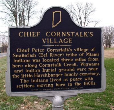
Chief Cornstalk’s Village
Chief Peter Cornstalk's village of Snakefish (Eel River) tribe of Miami Indians was located three miles from here along Cornstalk Creek. Wigwams and Indian burial ground were near the little Harshbarger family cemetery. The Indians lived at peace with settlers moving here in the 1800's.
Erected 1982 by Montgomery County Historical Society. (Marker Number 54.1981.1.)
Topics and series. This historical marker is listed in these topic lists: Cemeteries & Burial Sites • Native Americans • Settlements & Settlers • Waterways & Vessels. In addition, it is included in the Indiana Historical Bureau Markers series list.
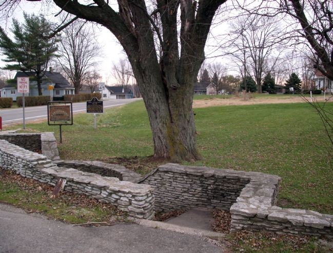
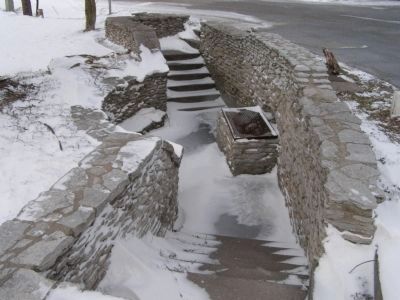
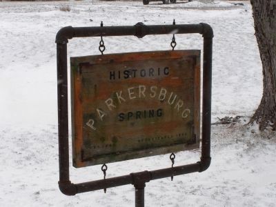
Location. 39° 52.381′ N, 86° 54.173′ W. Marker is near Ladoga, Indiana, in Montgomery County. Marker is at the intersection of U.S. 231 and County Road 1150 S. on U.S. 231. From Crawfordsville travel aprox. 11 miles South on U.S. 231 to County Road 1150 South. Marker is located at the Historic Parkersburg Spring. Touch for map. Marker is in this post office area: Ladoga IN 47954, United States of America. Touch for directions.
Other nearby markers. At least 8 other markers are within 11 miles of this marker, measured as the crow flies. Foundation Rock (approx. 8.6 miles away); Portland Mills (approx. 8.6 miles away); Dorothy Madden Hobson Luther (approx. 9.7 miles away); Oldest Surviving Veteran of American Revolution (approx. 9.8 miles away); Portland Mills Covered Bridge (approx. 9.9 miles away); All Veterans in War and Peace (approx. 10.4 miles away); Hillis Bridge (approx. 10.9 miles away); Spanish American War Memorial (approx. 11 miles away).
Also see . . . Eel River Tribe. Wikipedia entry (Submitted on August 22, 2022, by Larry Gertner of New York, New York.)
Credits. This page was last revised on August 22, 2022. It was originally submitted on November 30, 2007, by Al Wolf of Veedersburg, Indiana. This page has been viewed 5,532 times since then and 77 times this year. Photos: 1, 2. submitted on November 30, 2007, by Al Wolf of Veedersburg, Indiana. 3, 4. submitted on March 21, 2008, by Christopher Light of Valparaiso, Indiana. • Kevin W. was the editor who published this page.


