Park Circle in North Charleston in Charleston County, South Carolina — The American South (South Atlantic)
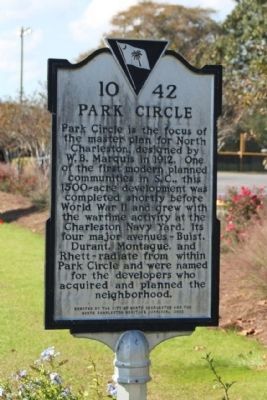
Park Circle
Erected 2002 by The City of North Charleston and the North Charleston Heritage Corridor. (Marker Number 10-42.)
Topics. This historical marker is listed in these topic lists: Man-Made Features • Settlements & Settlers. A significant historical year for this entry is 1912.
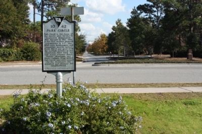
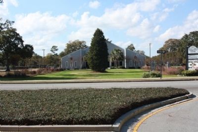
Location. 32° 52.819′ N, 79° 59.122′ W. Marker is in North Charleston, South Carolina, in Charleston County. It is in Park Circle. Marker is on South Rhett Avenue (State Highway 10-60) near Buist Avenue, in the median. Located at the south side of Park Circle. Today a city park area, including a butterfly garden. Touch for map. Marker is in this post office area: North Charleston SC 29405, United States of America. Touch for directions.
Other nearby markers. At least 8 other markers are within 2 miles of this marker, measured as the crow flies. Liberty Hill's Vietnam Fighting Men (approx. 0.6 miles away); Liberty Hill (approx. 0.6 miles away); Charleston Station (approx. 0.8 miles away); Naval Hospital District (approx. 1.2 miles away); Charleston Naval Hospital Historic District (approx. 1.2 miles away); Navy Yard Officers' Quarters (approx. 1.4 miles away); Marine Barracks (approx. 1.4 miles away); Charleston Naval Yard Officers' Quarters Historic District (approx. 1.4 miles away). Touch for a list and map of all markers in North Charleston.
Credits. This page was last revised on February 16, 2023. It was originally submitted on December 15, 2010, by Mike Stroud of Bluffton, South Carolina. This page has been viewed 1,122 times since then and 56 times this year. Photos: 1, 2, 3. submitted on December 15, 2010, by Mike Stroud of Bluffton, South Carolina. • Bill Pfingsten was the editor who published this page.


