Salem, Virginia — The American South (Mid-Atlantic)
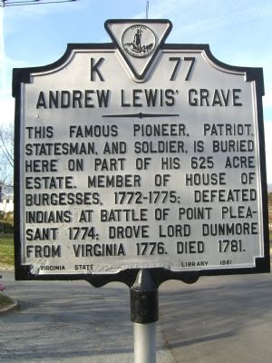
Andrew Lewis’ Grave
This famous pioneer, patriot, statesman, and soldier, is buried here on part of his 625 acre estate. Member of House of Burgesses, 1772-1775; defeated Indians at battle of Point Pleasant 1774; drove Lord Dunmore from Virginia 1776. Died 1781.
Erected 1961 by Virginia State Library. (Marker Number K-77.)
Topics and series. This historical marker is listed in these topic lists: Colonial Era • Patriots & Patriotism • Settlements & Settlers • War, US Revolutionary. In addition, it is included in the Virginia Department of Historic Resources (DHR) series list. A significant historical year for this entry is 1774.
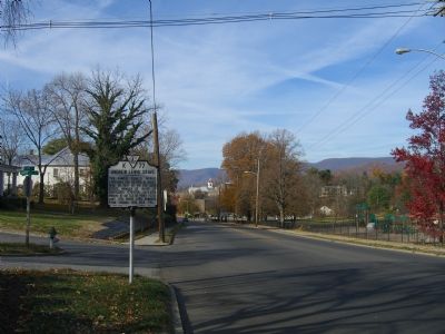
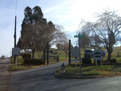
Location. 37° 17.653′ N, 80° 2.931′ W. Marker is in Salem, Virginia. Marker is at the intersection of E. Main Street (U.S. 460) and Park Avenue, on the right when traveling east on E. Main Street. Touch for map. Marker is in this post office area: Salem VA 24153, United States of America. Touch for directions.
Other nearby markers. At least 8 other markers are within walking distance of this marker. Sgt. James Walton (a few steps from this marker); To honor our Confederate Soldiers (about 300 feet away, measured in a direct line); East Hill Cemetery North (about 500 feet away); General Andrew Lewis (about 600 feet away); William Howard Thompson (approx. 0.2 miles away); Lynchburg and Salem Turnpike (approx. ¼ mile away); Roanoke County Confederate Monument (approx. 0.3 miles away); Kim Kyusik (approx. 0.3 miles away). Touch for a list and map of all markers in Salem.
Related markers. Click here for a list of markers that are related to this marker.
Credits. This page was last revised on March 5, 2022. It was originally submitted on December 1, 2007, by Kevin W. of Stafford, Virginia. This page has been viewed 2,509 times since then and 43 times this year. Photos: 1, 2, 3. submitted on December 1, 2007, by Kevin W. of Stafford, Virginia.


