McClellanville in Charleston County, South Carolina — The American South (South Atlantic)
McClellanville
[Front]
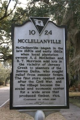
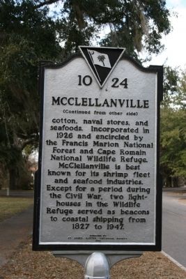
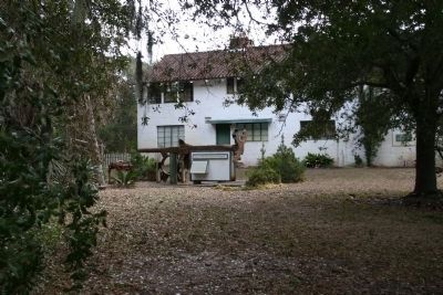
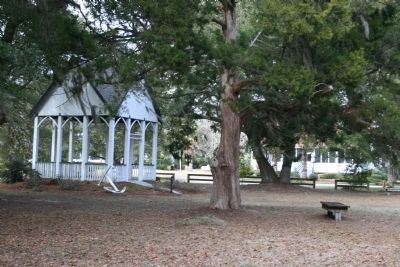
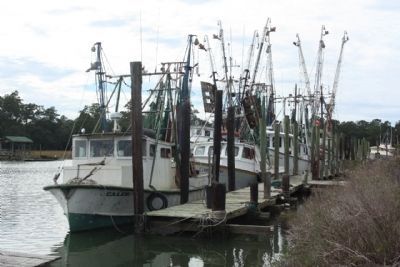
McClellanville began in the late 1850s and early 1860s when local plantation owners A. J. McClellan and R. T. Morrison sold lots in the vicinity of Jeremy Creek to planters of the Santee Delta, who sought relief from summer fevers. The first store opened soon after the Civil War, and the village became the social and economic center for a wide area that produced timber, rice,
[Reverse]
Erected 1995 by St. James, Santee, Historical Society. (Marker Number 10-24.)
Topics. This historical marker is listed in this topic list: Notable Places. A significant historical year for this entry is 1926.
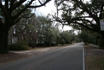
Location. 33° 5.122′ N, 79° 27.635′ W. Marker is in McClellanville, South Carolina, in Charleston County. Marker is on Pinckney Street (State Highway S-10-9) south of Oak Street/Dupre Road (State Highway S-10-71). Touch for map. Marker is in this post office area: Mc Clellanville SC 29458, United States of America. Touch for directions.
Other nearby markers. At least 8 other markers are within 6 miles of this marker, measured as the crow flies. Deerhead Oak (within shouting distance of this marker); Richard Tillia Morrison (within shouting distance of this marker); St. James Santee Parish Veterans Memorial (about 300 feet away, measured in a direct line); Point Plantation (about 700 feet away); Archibald Rutledge Birthplace (approx. 0.2 miles away); Lucas’ 1792 Wind Powered Sawmill (approx. 0.3 miles away); The Lowcountry Seaman’s Memorial (approx. 0.3 miles away); St. James Santee Parish Church (approx. 6 miles away). Touch for a list and map of all markers in McClellanville.
Credits. This page was last revised on June 16, 2016. It was originally submitted on December 16, 2010, by David Bullard of Seneca, South Carolina. This page has been viewed 884 times since then and 44 times this year. Photos: 1, 2. submitted on December 16, 2010, by David Bullard of Seneca, South Carolina. 3. submitted on December 18, 2010, by David Bullard of Seneca, South Carolina. 4. submitted on December 16, 2010, by David Bullard of Seneca, South Carolina. 5, 6. submitted on December 18, 2010, by David Bullard of Seneca, South Carolina. 7. submitted on November 10, 2013, by Mike Stroud of Bluffton, South Carolina. • Syd Whittle was the editor who published this page.
