Near Fruita in Wayne County, Utah — The American Mountains (Southwest)
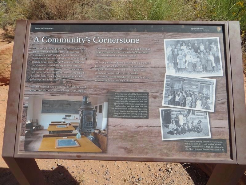
A Community's Cornerstone
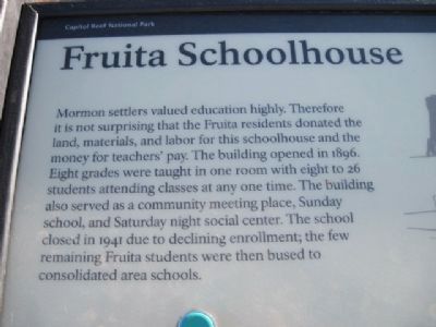
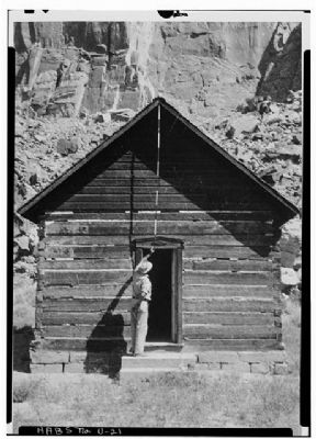
Fruita Schoolhouse
An original marker was replaced prior to 2018.
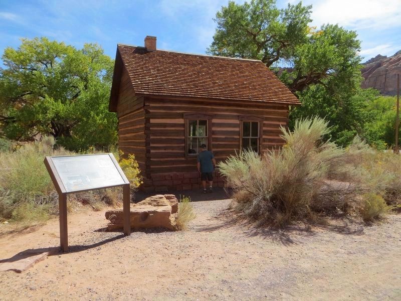
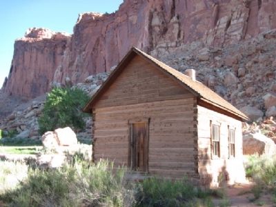
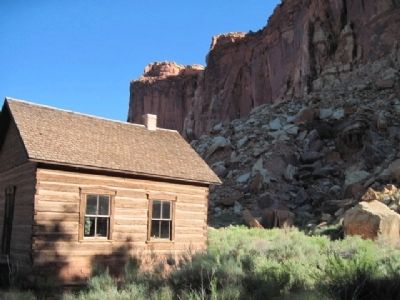
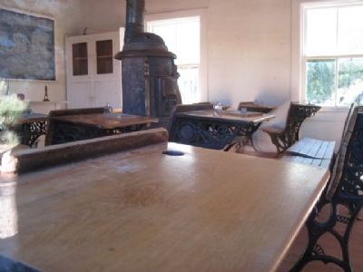
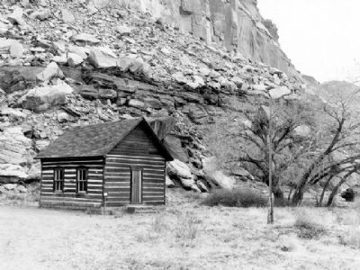
This modest building played a significant role in the Fruita community. Built in 1896, this one-room schoolhouse was Fruita's only public structure. Besides being their only school, it served as a church meeting house, since Fruita's Mormon settlers never had their own church building. The building also functioned as the community center. The student's desks were not attached to the floor, so they could be moved to make room for dances, meetings, church gatherings, and other social events.
Within the schoolhouse's walls, Fruita residents found support and discussed common beliefs, work, and life.
Their cooperative spirit, determination, and spiritual bond were important to the survival of Fruita as an isolated settlement in a remote location.
As the population of Fruita declined, so did the need for its own school. The last class of students was taught in 1941, after which the schoolhouse was closed and Fruita children were bussed to consolidated schools elsewhere in the county, closing a chapter in the community's history.
Original Marker:
Mormon settlers valued education highly. Therefore it is not surprising that the Fruita residents donated the land, materials, and labor for this schoolhouse and the money for teachers' pay. The building opened in 1896. Eight grades were taught in one room with eight to 26 students attending classes at any one time. The building also served as a community meeting place, Sunday school, and Saturday night social center. The school closed in 1941 due to declining enrollment; the few remaining Fruita students were then bused to consolidated area schools.
Erected by Capital Creek National Park.
Topics. This historical marker is listed in these topic lists: Churches & Religion • Education. A significant historical year for this entry is 1896.
Location. 38° 17.285′ N, 111° 14.889′ W. Marker is near Fruita, Utah, in Wayne County. Marker is on Utah Route 24, on the left when traveling east. The marker and schoolhouse are located within Capitol Reef National Park. Marker is located to the right of the parking area on the east side of the school building. Touch for map. Marker is in this post office area: Torrey UT 84775, United States of America. Touch for directions.
Other nearby markers. At least 4 other markers are within 10 miles of this marker, measured as the crow flies. Behunin Cabin (approx. 4.2 miles away); Building a Community (approx. 9.4 miles away); Torrey Log Church and Schoolhouse (approx. 9.4 miles away); Torrey Log School and Church (approx. 9.4 miles away).
Also see . . . Fruita Schoolhouse. Wikipedia article on the school. (Submitted on January 1, 2011, by Bob (peach) Weber of Dewey, Arizona.)
Credits. This page was last revised on April 7, 2020. It was originally submitted on December 21, 2010, by Bob (peach) Weber of Dewey, Arizona. This page has been viewed 1,024 times since then and 32 times this year. Photos: 1, 2. submitted on April 2, 2020, by Bill Kirchner of Tucson, Arizona. 3, 4, 5, 6, 7. submitted on December 21, 2010, by Bob (peach) Weber of Dewey, Arizona. 8. submitted on January 3, 2011. 9. submitted on January 3, 2011, by Syd Whittle of Mesa, Arizona. • Syd Whittle was the editor who published this page.
