Eastern Terminus Ice Age National Scenic Trail
Potawatomi State Park
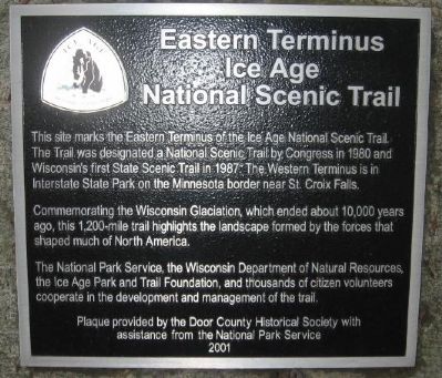
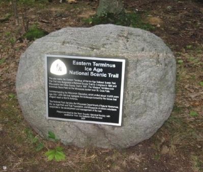
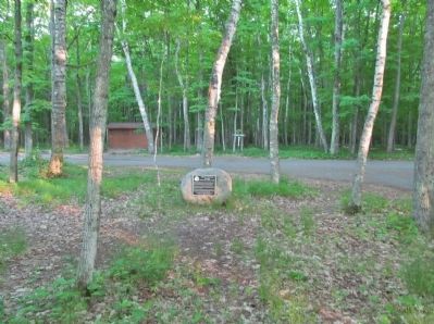
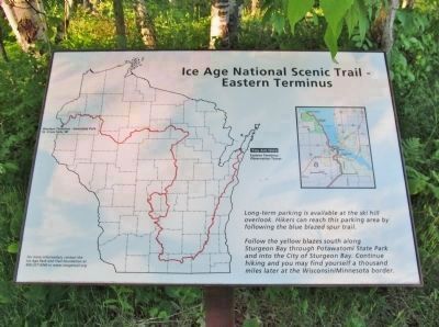
This site marks the Eastern Terminus of the Ice Age National Scenic Trail. The Trail was designated a National Scenic Trail by Congress in 1980 and Wisconsin's first State Scenic Trail in 1987. The Western Terminus is in Interstate State Park on the Minnesota border near St. Croix Falls.
Commemorating the Wisconsin Glaciation, which ended about 10,000 years ago, this 1,200-mile trail highlights the landscape formed by the forces that shaped much of North America.
The National Park Service, the Wisconsin Department of Natural Resources, the Ice Age Park and Trail Foundation, and thousands of citizen volunteers cooperate in the development and management of the trail.
Erected 2001 by Door County Historical Society.
Topics. This historical marker is listed in this topic list: Natural Features. A significant historical year for this entry is 1980.
Location. 44° 52.484′ N, 87° 25.91′ W. Marker is near Sturgeon Bay, Wisconsin, in Door County. Marker can be reached from North Norwood Road. Touch for map. Marker is in this post office area: Sturgeon Bay WI 54235, United States of America. Touch for directions.
Other nearby markers. At least 8 other markers are within 4 miles of this marker, measured as the crow flies. Door County's Stone Fleet (approx. half a mile away); Leathem and Smith Quarry (approx. 2˝ miles away); Propeller and Shaft (approx. 2˝
More about this marker.
The Trail was designated a National Scenic Trail by Congress in 1980 and Wisconsin's first State Scenic Trail in 1987.
Regarding Eastern Terminus Ice Age National Scenic Trail.
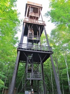
Potawatomi State Park on the shore of Sturgeon Bay in southern Door County, has 1,200 acres of gently rolling upland terrain bordered by steep slopes and rugged limestone cliffs. Over two miles of shoreline provide many scenic views and recreational opportunities. A 75-foot observation tower rises above the forest canopy giving a panoramic view. On a clear day, the view from the park's observation tower reaches 16 miles across Green Bay.
The park is named in honor of the tribe that inhabited Green Bay’s shores and islands when Europeans first settled the area. The tribe called themselves “Bo-De-Wad-Me” which means “keeper of the fire.” Eventually the spelling and pronunciation were changed to “Potawatomi.”
Related markers. Click here for a list of markers that are related to this marker. This is a list of Ice Age National Scientific Reserve or Trail markers.
Additional commentary.
1. Marker to be moved.
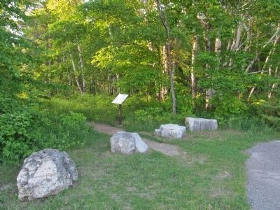
The Wisconsin Department of Natural Resources says the glacial rock and historical marker that marks the end of the trail will be moved to the park's Old Ski Hill Overlook. That's about .3 miles away. The move is planned for April and is meant to alleviate confusion that can result from signs that remain at the overlook from decades ago when it was the end of the trail.
Credits. This page was last revised on April 5, 2022. It was originally submitted on December 16, 2010, by Bob (peach) Weber of Dewey, Arizona. This page has been viewed 700 times since then and 19 times this year. Last updated on December 23, 2010, by Bob (peach) Weber of Dewey, Arizona. Photos: 1, 2. submitted on December 16, 2010, by Bob (peach) Weber of Dewey, Arizona. 3, 4, 5, 6. submitted on September 1, 2014, by Keith L of Wisconsin Rapids, Wisconsin. • Bill Pfingsten was the editor who published this page.
