Near Sturgeon Bay in Door County, Wisconsin — The American Midwest (Great Lakes)
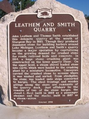
Leathem and Smith Quarry
Erected 1998 by the Wisconsin Historical Society. (Marker Number 417.)
Topics and series. This historical marker is listed in these topic lists: Industry & Commerce • Waterways & Vessels. In addition, it is included in the Wisconsin Historical Society series list. A significant historical year for this entry is 1893.
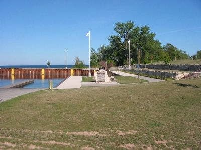
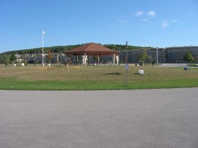
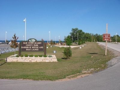
Location. 44° 54.28′ N, 87° 24.298′ W. Marker is near Sturgeon Bay, Wisconsin, in Door County. Marker can be reached from Bay Shore Drive (County Highway B) 0.4 miles north of Bay Shore Heights Drive, on the left when traveling north. Marker is at Olde Stone Quarry County Park, Harbor of Refuge and Boat Launch. Touch for map. Marker is in this post office area: Sturgeon Bay WI 54235, United States of America. Touch for directions.
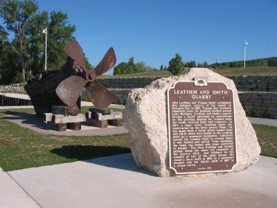
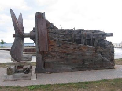
Other nearby markers. At least 8 other markers are within 5 miles of this marker, measured as the crow flies. Propeller and Shaft (here, next to this marker); Door County's Stone Fleet (approx. 2.1 miles away); Eastern Terminus Ice Age National Scenic Trail (approx. 2˝ miles away); The Orchards of Door County (approx. 3.8 miles away); Steam Barge Joys (approx. 4.1 miles away); Bradley Crandall Sawmill Site (approx. 4.2 miles away); A Fortunate Mix (approx. 4.2 miles away); Town of Sevastopol (approx. 4.2 miles away). Touch for a list and map of all markers in Sturgeon Bay.
Regarding Leathem and Smith Quarry.
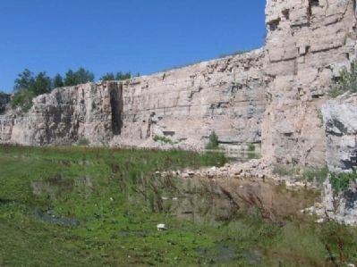
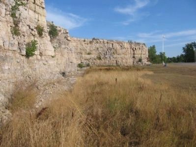
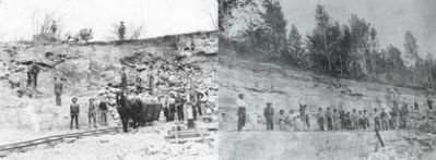
Until the 1850s nearly all building stone came from cleared farmland or from easily accessible surface deposits. By the 1870s and 1880s with the ease of transportation by water, quarrying became a major industry in Door County. Stone quarried in Door County was used in the manufacture of lime or cement, and for use as riprap. Relatively minor amounts were used for building construction because of the stones poor quality.
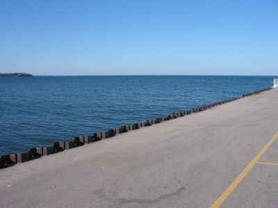
Originally, removal of the limestone rock relied on manpower with workmen using pry bars to remove slabs of rock weighing in excess of 300 pounds. Horse-drawn carts were then used to haul the rock to the waterside for shipboard delivery around the Great Lakes. In the 1880s, the use of black powder made rock removal easier and more profitable. Eventually dynamite and steam-powered machinery made it possible to extract slabs weighing between 2 and 5 tons. These slabs were then used in the construction of harbors, breakwaters, and piers, making them immune to fire and more resistant to erosion and decay (as compared to wood). Almost every harbor on Lake Michigan today was built in part with Door County stone.
As the demand for stone grew around the shores of the Great Lakes, many small quarry operations opened in Door County. Quarries in Baileys Harbor, Door Bluff, Garrett Bay, Eagle Bluff, Marshall’s Point, Mud Bay, and on Washington Island achieved some short-lived success. The opening of the Sturgeon Bay ship canal in 1882 made transportation by water cheaper and helped large-scale commercial quarries thrive and expand. This would eventually drive some of the smaller quarries to go out of business. In 1903 only the Green Quarry, the Laurie Quarry, the Leathem and Smith Quarry, and the Sturgeon Bay Stone Company remained. As World War I broke out and building projects around the Great Lakes halted, so did the futures of many of these quarries. In 1944, the last of the big quarries closed its doors permanently, ending Door Counties legacy of stone. Although there are a number of smaller active quarries around the county today, their impact on the economy is not like that of earlier times.
Credits. This page was last revised on October 15, 2021. It was originally submitted on October 5, 2008, by Keith L of Wisconsin Rapids, Wisconsin. This page has been viewed 2,985 times since then and 59 times this year. Last updated on December 29, 2010, by Bob (peach) Weber of Dewey, Arizona. Photos: 1, 2, 3, 4, 5. submitted on October 5, 2008, by Keith L of Wisconsin Rapids, Wisconsin. 6, 7, 8. submitted on December 13, 2010, by Bob (peach) Weber of Dewey, Arizona. 9. submitted on December 16, 2010, by Bob (peach) Weber of Dewey, Arizona. 10. submitted on October 5, 2008, by Keith L of Wisconsin Rapids, Wisconsin. • Kevin W. was the editor who published this page.
