Lewes Ferry Terminal in Sussex County, Delaware — The American Northeast (Mid-Atlantic)
Breakwaters
Lewes Maritime History Trail
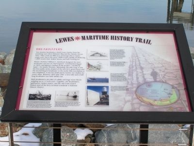
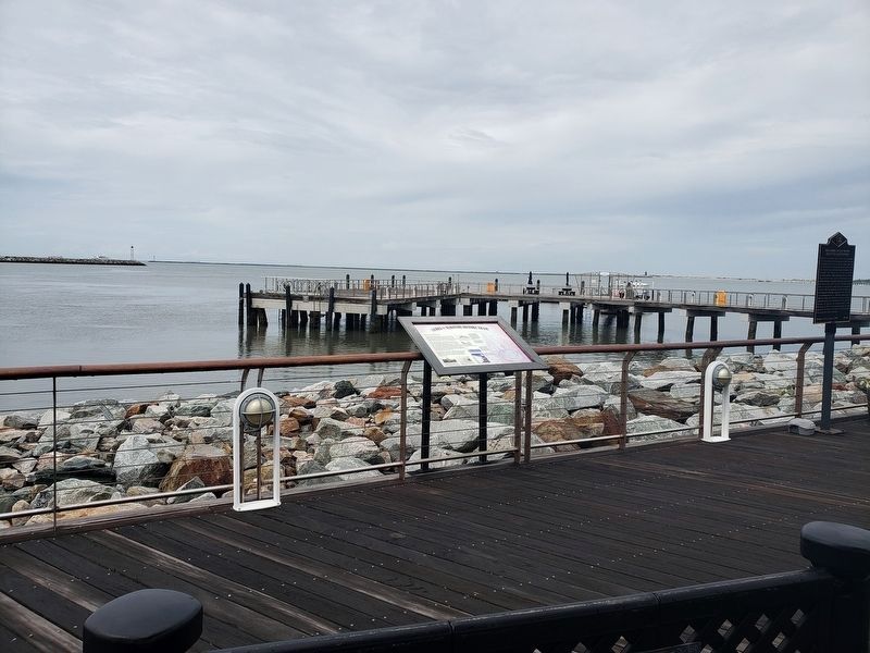
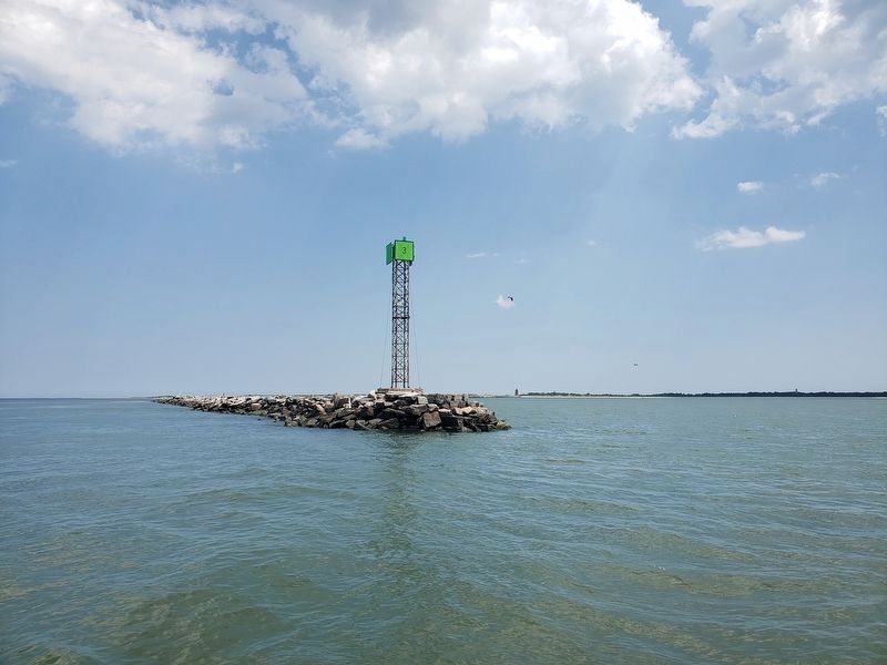
Two massive breakwaters shield Lewes Harbor from the punishing seas where Delaware Bay and the Atlantic Ocean meet. They create an 800-acre anchorage that is nearly empty now, but in the early 1900s it was capable of sheltering 1,000 vessels from violent storms and hull-crushing ice.
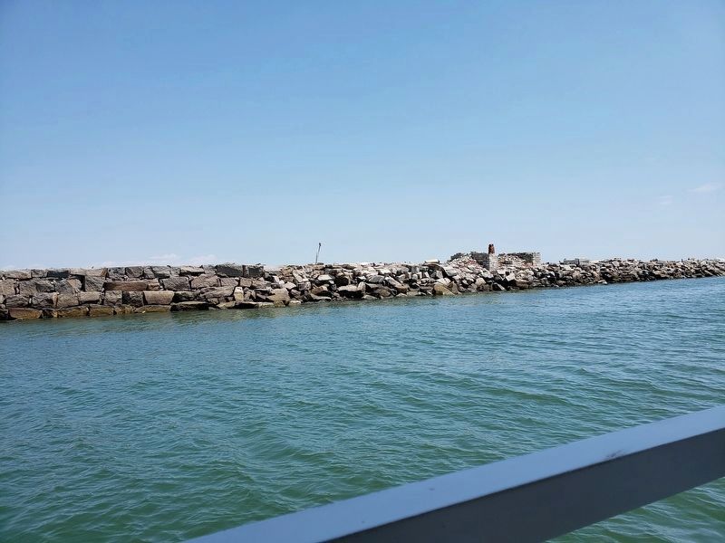
Master Architect William F. Strickland designed the inner breakwater and was its chief engineer. Construction began in 1823, and laborers worked at the project - mostly by hand - for nearly 70 years. Measuring one mile long, it was the first public works project of the new U.S. government and the second-largest breakwater in the world. But even before it was completed, it was too small and its harbor too shallow for newer ships. Between 1897 and 1901 a new mile-and-a-half-long breakwater was built farther out.
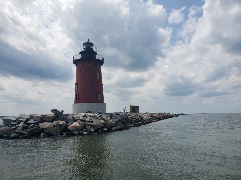
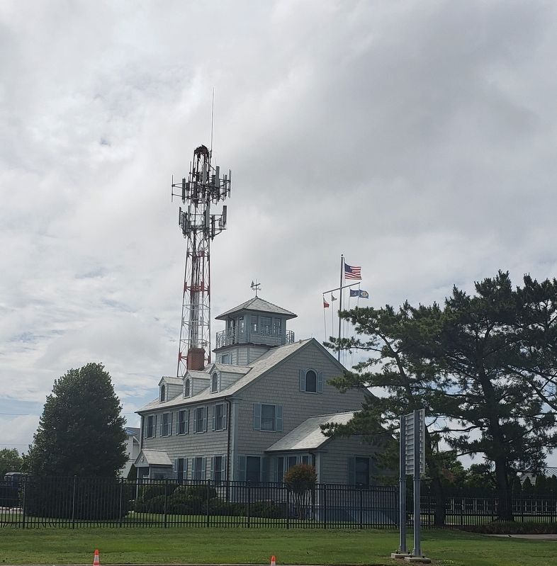
Both breakwaters are piles of rubble and huge stone blocks weighing up to 13 tons each. Together, the breakwaters, lighthouses, harbor waters, and the old Coast Guard Station west of the ferry terminal constitute a National Historic District.
Erected by City of Lewes. (Marker Number 9.)
Topics. This historical marker is listed in this topic list: Waterways & Vessels. A significant historical year for this entry is 1823.
Location. 38° 46.933′ N, 75° 7.103′ W. Marker is in Lewes, Delaware, in Sussex County. It is in Lewes Ferry Terminal. Marker can be reached from U.S. 9 north of Cape Henlopen Drive. Located within the Cape May-Lewes Ferry terminal. Touch for map. Marker is in this post office area: Lewes DE 19958, United States of America. Touch for directions.
Other nearby markers. At least 8 other markers are within walking distance of this marker. Delaware Breakwater East End Lighthouse (a few steps from this marker); Delaware Pilots (within shouting distance of this marker); Harbor of Refuge Lighthouse (within shouting distance of this marker); The Legacy of Ted Freeman (within shouting distance of this marker); Cape May - Lewes Ferry (within shouting distance of this marker); Unknown Sailors' Cemetery (within shouting distance of this marker); Menhaden Fisheries (approx. 0.6 miles away); Lighthouses (approx. 0.6 miles away). Touch for a list and map of all markers in Lewes.
Also see . . .
1. Wikipedia: "Delaware Breakwater East End light". (Submitted on August 11, 2019, by John Miller of Rising Sun, Maryland.)
2. Wikipedia: "Delaware Breakwater West End Light". (Submitted on August 11, 2019, by John Miller of Rising Sun, Maryland.)
Credits. This page was last revised on September 18, 2023. It was originally submitted on January 1, 2011, by Nathan Davidson of Salisbury, Maryland. This page has been viewed 728 times since then and 20 times this year. Photos: 1. submitted on January 1, 2011, by Nathan Davidson of Salisbury, Maryland. 2. submitted on June 29, 2021, by John Miller of Rising Sun, Maryland. 3, 4, 5. submitted on August 11, 2019, by John Miller of Rising Sun, Maryland. 6. submitted on June 29, 2021, by John Miller of Rising Sun, Maryland. • Syd Whittle was the editor who published this page.
