Marker Logo HMdb.org THE HISTORICAL
MARKER DATABASE
“Bite-Size Bits of Local, National, and Global History”
Near Green Bay in Brown County, Wisconsin — The American Midwest (Great Lakes)
 

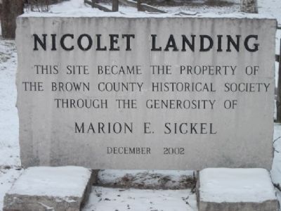
Nicolet Landing

1634-1909


Nicolet Landing Marker image. Click for full size.
Photographed By Robert L Weber, January 7, 2011
1. Nicolet Landing Marker
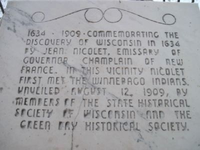
Inscription. Commemorating the discovery of Wisconsin in 1634 by Jean Nicolet, Emissary of Governor Champlain of New France. In this vicinity Nicolet first met the Winnebago Indians.
 
Erected 1909 by State Historical Society of Wisconsin & Green Bay Historical Society.
 
Topics. This historical marker is listed in this topic list: Exploration. A significant historical year for this entry is 1634.
 
Location. 44° 36.577′ N, 87° 51.906′ W. Marker is near Green Bay, Wisconsin, in Brown County. Marker is on Benderville Road, 0.2 miles Nicolet Drive. Touch for map. Marker is in this post office area: Green Bay WI 54311, United States of America. Touch for directions.
 
Other nearby markers. At least 8 other markers are within 3 miles of this marker, measured as the crow flies. 1634 • 1909 (about 300 feet away, measured in a direct line); Red Banks (approx. 2.9 miles away); The Beaudhuin Village Site: A North Bay Middle Woodland Camp (approx. 3 miles away); Fabry Creek (Boss Tavern): A Multi-component Site (approx. 3 miles away); From First Americans to Euroamericans (approx. 3 miles away); Delfosse-Allard: A Multi-component Site (approx. 3 miles away); The WIS 57 Reconstruction Project in Brown, Kewaunee, and Door Counties (approx. 3 miles away); The Holdorf Site: A Chipped Stone Workshop/The Christoff Site: A Prehistoric Campsite (approx. 3 miles away). Touch for a list and map of all markers in Green Bay.
Paid Advertisement
Click on the ad for more information.
Please report objectionable advertising to the Editor.
Click or scan to see
this page online
 
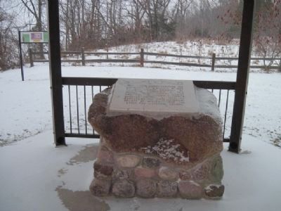
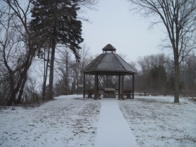
Nicolet Landing Marker and park image. Click for full size.
Photographed By Robert L Weber, January 7, 2011
2. Nicolet Landing Marker and park
Nicolet Landing Marker image. Click for full size.
Photographed By Robert L Weber, January 7, 2011
3. Nicolet Landing Marker
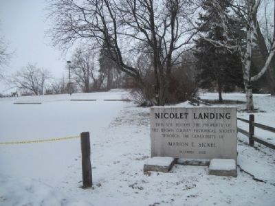
Nicolet Landing Marker with Info Plaque in back image. Click for full size.
Photographed By Robert L Weber, January 7, 2011
4. Nicolet Landing Marker with Info Plaque in back
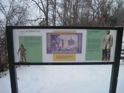
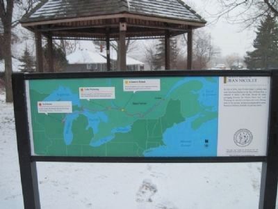
Front of Info Plaque image. Click for full size.
Photographed By Robert L Weber, January 7, 2011
5. Front of Info Plaque
The Second Marker and shelter image. Click for full size.
Photographed By Robert L Weber, January 7, 2011
6. The Second Marker and shelter
Back of Info Plaque image. Click for full size.
Photographed By Robert L Weber, January 7, 2011
7. Back of Info Plaque
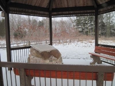
Shelter containing second marker image. Click for full size.
Photographed By Robert L Weber, January 7, 2011
8. Shelter containing second marker
 
 
Credits. This page was last revised on June 16, 2016. It was originally submitted on January 7, 2011, by Bob (peach) Weber of Dewey, Arizona. This page has been viewed 1,257 times since then and 43 times this year. Photos:   1, 2, 3, 4, 5, 6, 7, 8. submitted on January 7, 2011, by Bob (peach) Weber of Dewey, Arizona. • Bill Pfingsten was the editor who published this page.
Share this page.  
Share on Tumblr
m=39541

CeraNet Cloud Computing sponsors the Historical Marker Database.
This website earns income from purchases you make after using our links to Amazon.com. We appreciate your support.
Paid Advertisement
Apr. 25, 2024