Grand Canyon National Park in Coconino County, Arizona — The American Mountains (Southwest)
Mission 66
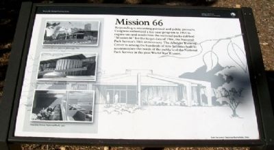
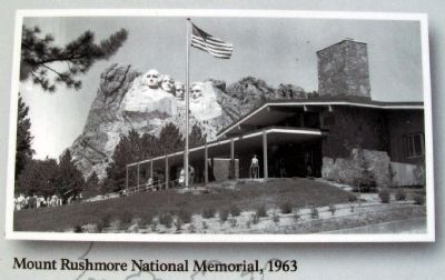
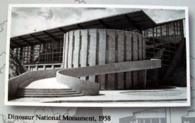
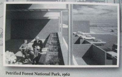
Responding to mounting political and public pressure, Congress authorized a ten-year program in 1955 to regenerate and modernize the national parks dubbed "Mission 66" for the target date of 1966, the National Park Service's 50th anniversary. The Albright Training Center is among the hundreds of new facilities built to accomodate the needs of the public and the National Park Service in the post World War II years.
[Drawing below text is of the Fort Necessity National Battlefield visitor center, 1964]
Erected by National Park Service.
Topics. This historical marker is listed in these topic lists: Charity & Public Work • Education • Environment • Government & Politics. A significant historical year for this entry is 1955.
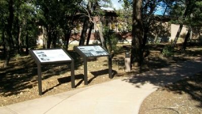
Location. 36° 3.029′ N, 112° 8.048′ W. Marker is in Grand Canyon National Park, Arizona, in Coconino County. Marker is along the sidewalk between Kowski Hall and Student Residence Building A, on the campus of the Horace M. Albright Training Center. Touch for map. Marker is at or near this postal address: 1 Albright Avenue, Grand Canyon AZ 86023, United States of America. Touch for directions.
Other nearby markers. At least 8 other markers are within walking distance of this marker. Albright Training Center History (here, next to this marker); Horace M. Albright (within shouting distance of this marker); Grand Canyon Depot (approx. half a mile away); Santa Fe Depot (approx. half a mile away); Blacksmith Shop (approx. half a mile away); Mule Barns (approx. half a mile away); El Tovar (approx. half a mile away); El Tovar Hotel (approx. half a mile away). Touch for a list and map of all markers in Grand Canyon National Park.
Also see . . .
1. Mission 66. Wikipedia entry (Submitted on February 3, 2021, by Larry Gertner of New York, New York.)
2. Albright Training Center – Who We Are. National Park Service website entry (Submitted on December 30, 2021, by Larry Gertner of New York, New York.)
Credits. This page was last revised on December 30, 2021. It was originally submitted on January 9, 2011, by William Fischer, Jr. of Scranton, Pennsylvania. This page has been viewed 872 times since then and 15 times this year. Photos: 1, 2, 3, 4, 5. submitted on January 9, 2011, by William Fischer, Jr. of Scranton, Pennsylvania.
