Bowling Green in Warren County, Kentucky — The American South (East South Central)
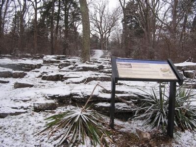
Fort Webb and Civil War Earthworks
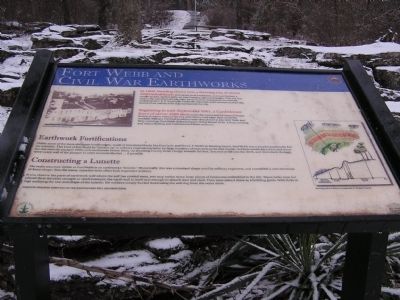
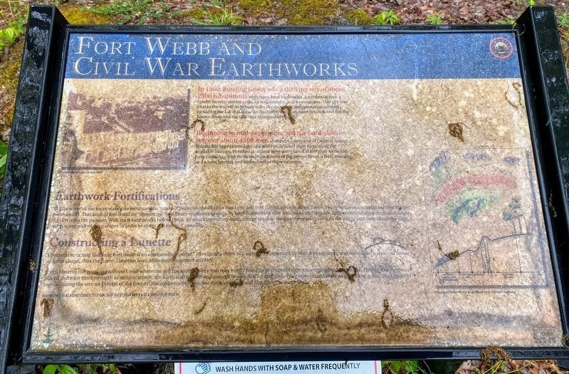
Beginning in mid-September 1861, a Confederate force of about 4500 men under the command of General Simon Bolivar Buckner entered the city and constructed eight forts on all the available hilltops. Fortified positions were also placed at key river fords and ferry crossings. Fort Webb defended parts of Big Barren River, a ferry crossing, and a boat landing and had mounted three cannons.
Earthwork Fortifications
Unlike some of the more elaborate fortifications, made of limestone blocks like Fort Lytle and Fort C.F. Smith in Bowling Green, Fort Webb was a simpler earthworks fort (or redoubt). This kind of fort could be "thrown up" (a military engineering term) by large numbers of men with picks and shovels. Soldiers would dig a ditch and throw the dirt onto the parapet. With such earthworks before them, an attacking enemy must, charge towards the fort, descend or fall into the ditch, and then climb the high, steep scarp wall of the parapet in order to storm the fort... if possible.
Constructing a Lunette
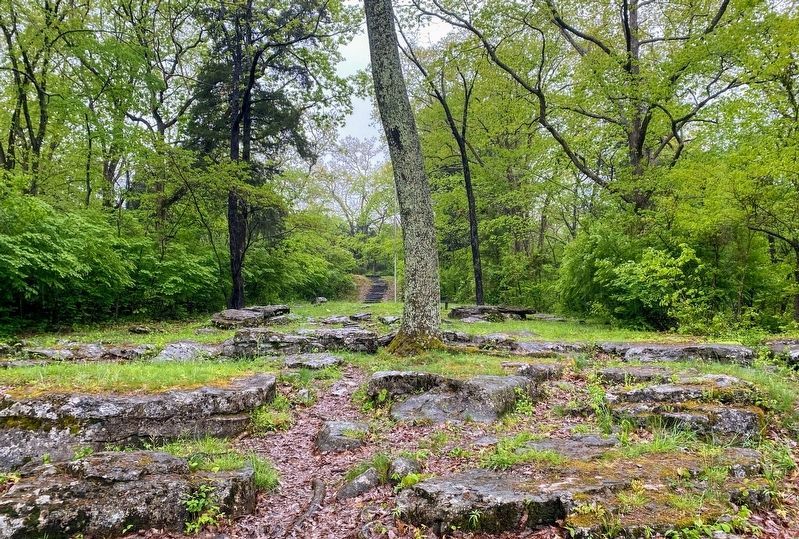
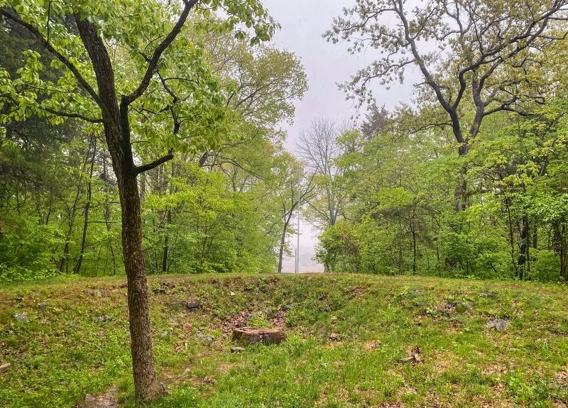
The main structure visible at Fort Webb is an earthworks "lunette." Historically, this was a standard shape used by military engineers, and resembled a crescent moon or lunar shape, thus the name. Lunettes were often built to protect artillery.
If you observe the parts of earthwork wall where the soil has eroded away, you may notice some large pieces of limestone embedded in the dirt. These rocks were not placed there for extra strength or reinforcement; the earth wall in itself was enough to absorb shot and shell. They were placed there as a building guide. With rocks or logs outlining the size and shape of the lunette, the soldiers simply buried them using the soil dug from the outer ditch.
Topics. This historical marker is listed in these topic lists: Forts and Castles • War, US Civil. A significant historical year for this entry is 1860.
Location. 37° 0.739′ N, 86° 25.96′ W. Marker is in Bowling Green, Kentucky, in Warren County. Marker is on Fort Webb Drive, on the left when traveling north. Located in Fort Webb Park. Touch for map. Marker is in this post office area: Bowling Green KY 42101, United States of America. Touch for directions.
Other nearby markers. At least 8 other markers are within walking distance of this marker. Fort Webb (within shouting distance of this marker); Defending the L&N Railroad (approx. 0.7 miles away); The Civil War in Bowling Green (approx. ¾ mile away); The Limestone Bluffs (approx. ¾ mile away); The Barren River (approx. ¾ mile away); Bowling Green & Warren County (approx. ¾ mile away); The Bridge (approx. 0.8 miles away); College Street Bridge (approx. 0.8 miles away). Touch for a list and map of all markers in Bowling Green.
Credits. This page was last revised on May 31, 2021. It was originally submitted on January 12, 2011, by Chad Comer of Gamaliel, Kentucky. This page has been viewed 748 times since then and 43 times this year. Photos: 1. submitted on January 12, 2011, by Chad Comer of Gamaliel, Kentucky. 2. submitted on May 28, 2021, by Shane Oliver of Richmond, Virginia. 3. submitted on January 12, 2011, by Chad Comer of Gamaliel, Kentucky. 4, 5. submitted on May 28, 2021, by Shane Oliver of Richmond, Virginia. • Craig Swain was the editor who published this page.
