Near Trading Post in Linn County, Kansas — The American Midwest (Upper Plains)
Marais des Cygnes Massacre State Historic Site Trail
Inscription.
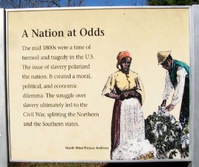
A Nation at Odds
The mid 1800s were a time of turmoil and tragedy in the U.S. The issue of slavery polarized the nation. It created a moral, political, and economic dilemma. The struggle over slavery ultimately led to the Civil War, splitting the Northern and the Southern states.
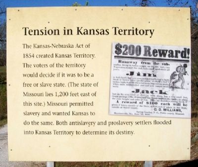
Tension in Kansas Territory
The Kansas-Nebraska Act of 1854 created Kansas Territory. The voters of the territory would decide if it was to be a free or slave state. (The state of Missouri lies 1,200 feet east of this site.) Missouri permitted slavery and wanted Kansas to do the same. Both antislavery and proslavery settlers flooded into Kansas Territory to determine its destiny.
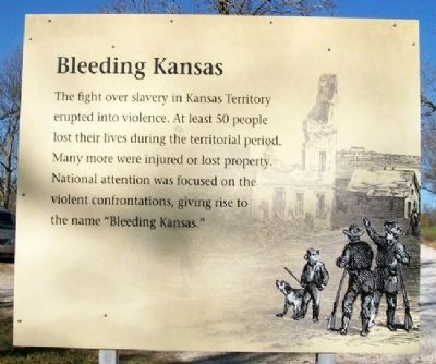
Bleeding Kansas
The fight over slavery in Kansas Territory erupted into violence. At least 50 people lost their lives during the territorial period. Many more were injured or lost property. National attention was focused on the violent confrontations, giving rise to the name "Bleeding Kansas."
John Brown of Kansas
Abolitionist John Brown emerged as a national figure while in Kansas Territory. He was willing to use violence to end the shame of slavery. Brown led a group of antislavery men on a raid, which resulted in the killing of five proslavery men. Known as the Pottawatomie Massacre, this event led to further guerilla warfare. John Brown continued to attack proslavery farms in Missouri, taking property and freeing slaves through the Underground Railroad.
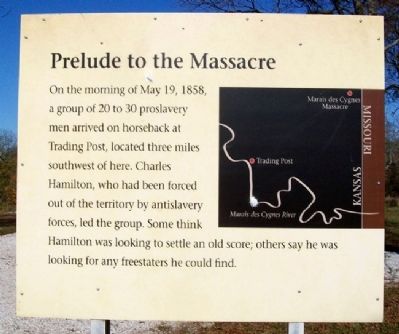
Prelude to the Massacre
On the morning of May 19, 1858, a group of 20 to 30 proslavery men arrived on horseback at Trading Post, located three miles southwest of here. Charles Hamilton, who had been forced out of the territory by antislavery forces, led the group. Some think Hamilton was looking to settle an old score; others say he was looking for any freestaters he could find.
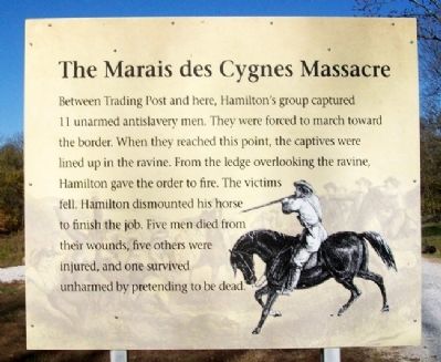
The Marais des Cygnes Massacre
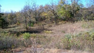
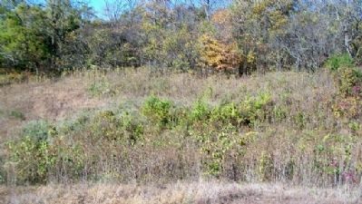
Between Trading Post and here, Hamilton's group captured 11 unarmed antislavery men. They were forced to march toward the border. When they reached this point, the captives were lined up in the ravine. From the ledge overlooking the ravine, Hamilton gave the order to fire. The victims fell. Hamilton dismounted his horse to finish the job. Five men died from their wounds, five others were injured, and one survived unharmed by pretending to be dead.
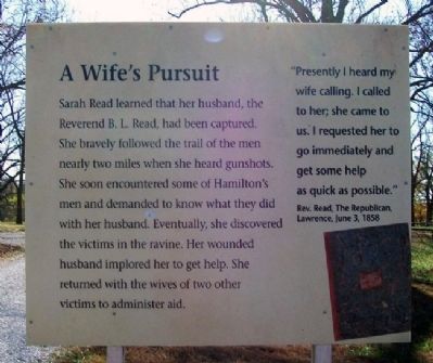
A Wife's Pursuit
Sarah Read learned that her husband, the Reverend B. L. Read, had been captured. She bravely followed the trail of the men nearly two miles when she heard gunshots. She soon encountered some of Hamilton's men and demanded to know what they did with her husband. Eventually, she discovered the victims in the
ravine. Her wounded husband implored her to get help. She returned with the wives of two other victims to administer aid.
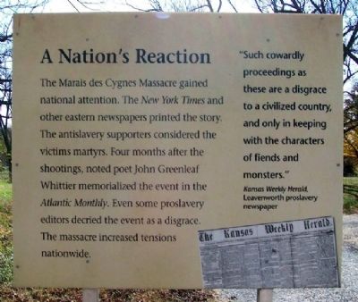
A Nation's Reaction
The Marais des Cygnes Massacre gained national attention. The New York Times and other eastern newspapers printed the story. The antislavery supporters considered the victims martyrs. Four months after the shootings, noted poet John Greenleaf Whittier memorialized the event in the Atlantic Monthly. Even some proslavery editors decried the event as a disgrace. The massacre increased tensions nationwide.
"Such cowardly proceedings as these are a disgrace to a civilized country, and only in keeping with the character of fiends and monsters."
Kansas Weekly Herald, Leavenworth proslavery newspaper.
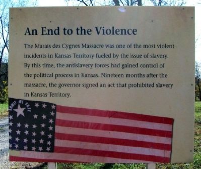
An End to the Violence
The Marais des Cygnes Massacre was one of the most violent incidents in Kansas Territory fueled by the issue of slavery. By this time, the antislavery forces had gained control of the political process in Kansas. Nineteen months after the massacre, the governor signed an act that prohibited slavery in Kansas Territory.
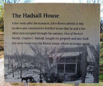
The Hadsall House
A few weeks after the massacre, John Brown arrived at this location and constructed a fortified house that he and a few other men occupied through the summer. One of Brown's friends, Charles C.
Hadsall, bought the property and later built this stone home near the Brown house, which no longer stands.
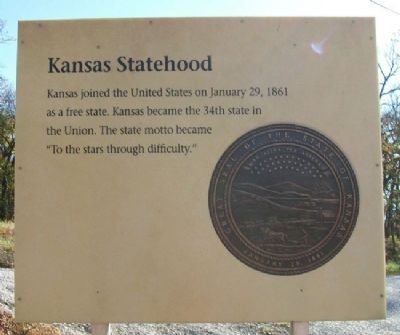
Kansas Statehood
Kansas joined the United States on January 29, 1861 as a free state. Kansas became the 34th state in the Union. The state motto became "To the stars through difficulty." [Ad Astra Per Aspera]
Thank you for visiting Marais des Cygnes Massacre State Historic Site
This site is preserved by the Kansas Historical Society and the people of Linn County.
Erected by Kansas Historical Society.
Topics. This historical marker is listed in these topic lists: Abolition & Underground RR • Churches & Religion • Civil Rights • Settlements & Settlers. A significant historical month for this entry is January 1794.
Location. 38° 16.794′ N, 94° 37.08′ W. Marker is near Trading Post, Kansas, in Linn County. Markers are on the grounds of the Marais des Cygnes Massacre State Historic Site, with entrance off East 1700th Road, about 500 feet west of the Kansas-Missouri State Line and about three miles northeast of Trading Post. Touch for map. Marker is in this post office area: Pleasanton KS 66075, United States of America. Touch for directions.
Other nearby markers. At least 8 other markers are within 4 miles of this marker, measured as the crow flies. Murder on the Marais des Cygnes (about 400 feet away, measured in a direct line); Sounds of the byway...moccasins and tears.
(approx. 3.2 miles away); Sounds from the past...hoof beats and heartbeats. (approx. 3.2 miles away); Sounds along the byway...anxiety and anticipation in the creak of wagon wheels. (approx. 3.2 miles away); Sounds along the roadway...soldiers on the move. (approx. 3.3 miles away); Sounds along the byway...saws, picks and axes. (approx. 3.3 miles away); Sounds along the byway...fur traders bringing their goods. (approx. 3.3 miles away); Sounds along the byway...auto, trucks and buses. (approx. 3.3 miles away). Touch for a list and map of all markers in Trading Post.
More about this marker. Markers chronologically tell the story of Bleeding Kansas, including the Marais des Cygnes Massacre, to Kansas Statehood (January 29, 1861) on the eve of Civil War.
Related markers. Click here for a list of markers that are related to this marker.
Also see . . .
1. Marais des Cygnes Massacre State Historic Site. "Kansapedia" entry (Submitted on January 23, 2011, by William Fischer, Jr. of Scranton, Pennsylvania.)
2. History of the Marais des Cygnes Massacre. (Submitted on January 23, 2011, by William Fischer, Jr. of Scranton, Pennsylvania.)
3. Marais des Cygnes Massacre Trail Brochure. (Submitted on January 23, 2011, by William Fischer, Jr. of Scranton, Pennsylvania.)
4. Bleeding Kansas. (Submitted on January 23, 2011, by William Fischer, Jr. of Scranton, Pennsylvania.)
5. Bleeding Kansas; A Narrative Guide to the Sources. (Submitted on January 23, 2011, by William Fischer, Jr. of Scranton, Pennsylvania.)
Credits. This page was last revised on December 26, 2020. It was originally submitted on January 23, 2011, by William Fischer, Jr. of Scranton, Pennsylvania. This page has been viewed 1,728 times since then and 40 times this year. Photos: 1, 2, 3, 4, 5, 6, 7, 8, 9, 10, 11, 12, 13, 14, 15. submitted on January 23, 2011, by William Fischer, Jr. of Scranton, Pennsylvania.
