Marble Canyon in Coconino County, Arizona — The American Mountains (Southwest)
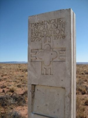
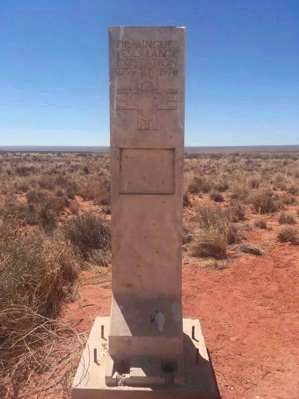
Dominguez y Escalante Expedition
1776 - 1976
— Treacherous Descent —
Text from: Historical Markers with The Arizona Department of Transportation right of way. Prepared by: Roadside Development Section April 1, 1997
Fatigued by a thirty mile ride, the padres picked their way down the rocky north slope of the Kaibab Plateau toward the light of Paiute campfires near what is now Coyote Spring, 15 miles north. The timid natives fled the approaching Spaniards. No white man had ever been in this region before.
Coaxed to return, the Indians brought pinon nuts and two roasted rabbits for the hungry explorers. During the night, a medicine man performed his healing ritual for an ailing Spaniard. Dominguez and Escalante were furious over a Catholic's participation in the pagan rites. After admonishing their companion for his frail faith, the Fathers implored the Indians to cease their superstitious ceremonies, be baptized, and embrace Christianity.
The Dominguez-Escalante Expedition was uncommon in the history of the west. Searching for a safe overland route from Santa Fe to Monterey, the Padres were determined to establish rapport with tribes along the way. They did not reach Monterey. However, their regard for the natives allowed them to travel the 1700 miles without a shot being fired or a word of anger uttered between Spaniard and Indian.
Erected 1976 by This marker was placed on the Kaibab Plateau by the Arizona Bicentennial Commission.
Topics and series. This historical marker is listed in these topic lists: Exploration • Hispanic Americans. In addition, it is included in the Dominguez y Escalante Expedition, and the The Spirit of ’76, America’s Bicentennial Celebration series lists. A significant historical date for this entry is April 1, 1923.
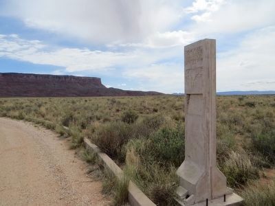
Location. Marker is missing. It was located near 36° 41.827′ N, 111° 54.543′ W. Marker was in Marble Canyon, Arizona, in Coconino County. Marker was on U.S. 89A at milepost 557, on the left when traveling east. Touch for map. Marker was in this post office area: Marble Canyon AZ 86036, United States of America. Touch for directions.
Other nearby markers. At least 1 other marker is within walking distance of this location. Vermilion Cliffs National Monument (here, next to this marker).
More about this marker. Marker looks like there should be a descriptive plaque inset in the pillar, but it is missing. Bullet holes. Very weathered.
Related marker. Click here for another marker that is related to this marker. Another Expedition marker along the trail.
Also see . . .
1. Domínguez–Escalante expedition on Wikipedia. (Submitted on December 2, 2019.)
2. Article from Intermountain Histories
. (Submitted on December 2, 2019.)
Credits. This page was last revised on December 2, 2019. It was originally submitted on November 28, 2010, by Jennifer W. of Las Cruces, New Mexico. This page has been viewed 1,746 times since then and 40 times this year. Last updated on January 26, 2011, by Bill Kirchner of Tucson, Arizona. Photos: 1. submitted on November 28, 2010, by Jennifer W. of Las Cruces, New Mexico. 2. submitted on May 26, 2016, by Bill Kirchner of Tucson, Arizona. 3. submitted on May 28, 2018, by Annmarie Henshaw of Phoenix, Arizona. • Syd Whittle was the editor who published this page.


