Munfordville in Hart County, Kentucky — The American South (East South Central)
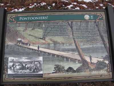
Pontooniers!
1861 - 1865
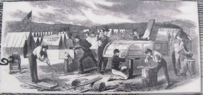
Unlike a rigid bridge with supports sunk in the ground, a pontoon bridge would simply rise with the water should the river flood. One built, a pontoon bridge could be disassembled and moved to a new crossing with relative ease. As many as two separate pontoon bridges at a time spanned the river here during the Civil War, one at this site, and one downstream, below the railroad bridge.
Erected by City of Munfordville in cooperation with Battle fo the Bridge Historic Preserve.
Topics. This historical marker is listed in these topic lists: Bridges & Viaducts • War, US Civil. A significant historical year for this entry is 1861.
Location. 37° 16.034′ N, 85° 53.262′ W. Marker is in Munfordville, Kentucky, in Hart County. Marker can be reached from River Road east of Old Street, on the left when traveling south. Part of a series of markers in Thelma Stovall Park highlighting the history of Munfordville, this marker is situated on the walking track that circles the park. Touch for map. Marker is at or near this postal address: 179 River Road, Munfordville KY 42765, United States of America. Touch for directions.
Other nearby markers. At least 8 other markers are within walking distance of this marker. The Great Buffalo Crossing (within shouting distance of this marker); The L&N Turnpike (about 300 feet away, measured in a direct line); Amos' Ferry (about 400 feet away); Return of the Natives (approx. 0.2 miles away); L&N Railroad Bridge (approx. 0.2 miles away); Thelma Hawkins Stovall (approx. ¼ mile away); Old Munford Inn (approx. ¼ mile away); Living on the Land (approx. ¼ mile away). Touch for a list and map of all markers in Munfordville.
Credits. This page was last revised on June 16, 2016. It was originally submitted on February 2, 2011, by Lee Hattabaugh of Capshaw, Alabama. This page has been viewed 927 times since then and 22 times this year. Photos: 1, 2, 3. submitted on February 2, 2011, by Lee Hattabaugh of Capshaw, Alabama. • Craig Swain was the editor who published this page.


