Near Santee Circle in Berkeley County, South Carolina — The American South (South Atlantic)
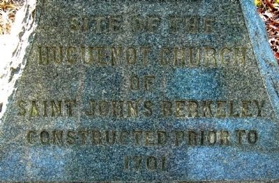
Site of Huguenot Church of Saint John's Berkeley
Inscription.
Eastern face:
Huguenot Church
of
Saint John's Berkeley
Constructed prior to
1701
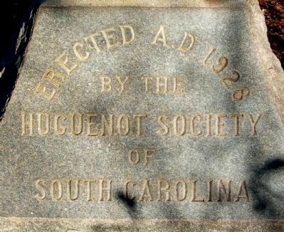
Western face:
by the
Huguenot Society
of
South Carolina
Erected 1928 by Huguenot Society of South Carolina.
Topics. This historical marker is listed in these topic lists: Churches & Religion • Colonial Era. A significant historical year for this entry is 1701.
Location. 33° 15.083′ N, 79° 58.723′ W. Marker is near Santee Circle, South Carolina, in Berkeley County. Marker is on Old Blackoak Road, 2 miles west of Highway 52, on the right when traveling south. Touch for map. Marker is at or near this postal address: 1257 Old Blackoak Rd, Moncks Corner SC 29461, United States of America. Touch for directions.
Other nearby markers. At least 8 other markers are within 4 miles of this marker, measured as the crow flies. Rehoboth Methodist Church (approx. 1.1 miles away); Biggin Church (approx. 2.7 miles away); Santee Canal (approx. 2.8 miles away); First Site of Moncks Corner (approx. 3.4 miles away); Old Moncks Corner (approx. 3˝ miles away); Berkeley Training High School (approx. 3.6 miles away); Pinopolis (approx. 3.6 miles away); Stony Landing Plantation (approx. 3.8 miles away).
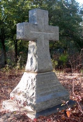
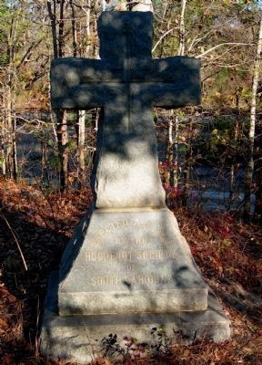
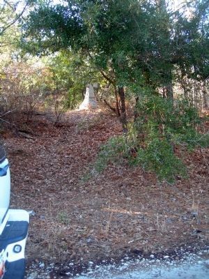
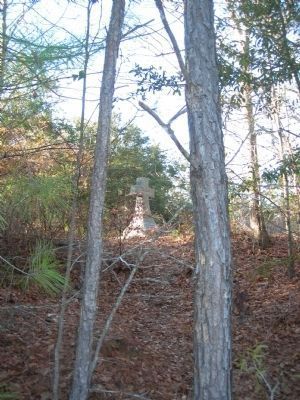
More about this marker. This is a difficult marker to find. Turn off Hwy 52 onto Power House Road. Go about 1.5 miles and turn right onto Old Blackoak Road as if you are going to Short Stay. When you cross over the railroad tracks, immediately turn left. This granite cross is about 100 feet on a hill in the trees, on the west side of the access road.
Additional keywords. Cross
Credits. This page was last revised on October 21, 2020. It was originally submitted on February 6, 2011, by Cathi Lee of Moncks Corner, South Carolina. This page has been viewed 1,774 times since then and 137 times this year. Photos: 1, 2, 3, 4, 5, 6. submitted on February 6, 2011, by Cathi Lee of Moncks Corner, South Carolina. • Kevin W. was the editor who published this page.
