Near Oglethorpe in Macon County, Georgia — The American South (South Atlantic)
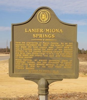
Lanier/Miona Springs
Miona Springs, an ancient gather place of American Indians, lies just Northeast of Lanier. With seven major mineral springs, it was appropriated in 1818 by the first White settler, Timothy Barnard.
Erected 1994 by The Macon County Historical Society.
Topics. This historical marker is listed in these topic lists: Native Americans • Settlements & Settlers. A significant historical date for this entry is December 29, 1891.
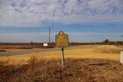
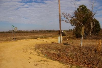
Location. 32° 24.246′ N, 84° 3.884′ W. Marker is near Oglethorpe, Georgia, in Macon County. Marker is at the intersection of Georgia Route 128 and Miona Spring Road (County Route 257), on the right when traveling north on State Route 128. Touch for map. Marker is in this post office area: Oglethorpe GA 31068, United States of America. Touch for directions.
Other nearby markers. At least 8 other markers are within 14 miles of this marker, measured as the crow flies. Confederate Soldiers Monument (approx. 7.1 miles away); Macon County (approx. 7.7 miles away); Timothy Barnard (approx. 7.7 miles away); Lumpkin Academy (approx. 7.9 miles away); Home of Samuel Henry Rumph (approx. 8 miles away); Mt. Zion Lutheran Church (approx. 10.1 miles away); Flint River Farms Resettlement Project (approx. 11.3 miles away); Hunt-Bond-Troup Memorial (approx. 13.6 miles away). Touch for a list and map of all markers in Oglethorpe.
Credits. This page was last revised on June 16, 2016. It was originally submitted on February 7, 2011, by David Seibert of Sandy Springs, Georgia. This page has been viewed 1,036 times since then and 67 times this year. Photos: 1, 2, 3. submitted on February 7, 2011, by David Seibert of Sandy Springs, Georgia. • Bernard Fisher was the editor who published this page.


