Spencer in Van Buren County, Tennessee — The American South (East South Central)
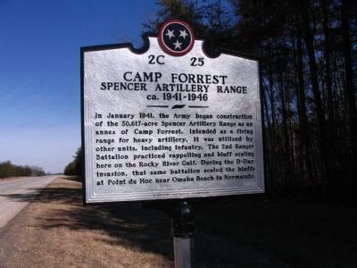
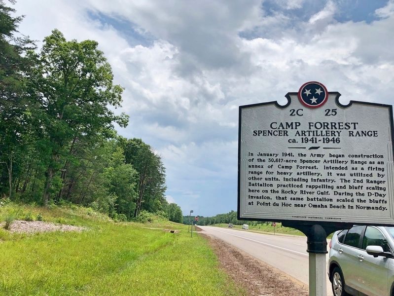
Camp Forrest
Spencer Artillery Range
— ca. 1941-1946 —
Erected by Tennessee Historical Commission. (Marker Number 2C 25.)
Topics and series. This historical marker is listed in this topic list: War, World II. In addition, it is included in the Tennessee Historical Commission series list. A significant historical month for this entry is January 1941.
Location. 35° 35.241′ N, 85° 28.25′ W. Marker is in Spencer, Tennessee, in Van Buren County. Marker is at the intersection of Shelby A. Rhinehart Memorial Highway (Tennessee Route 111) and Trail of Tears Road, on the right when traveling north on Shelby A. Rhinehart Memorial Highway. Touch for map. Marker is in this post office area: Spencer TN 38585, United States of America. Touch for directions.
Other nearby markers. At least 8 other markers are within 11 miles of this marker, measured as the crow flies. Trail of Tears (here, next to this marker); Gilbert Gaul, Civil War Painter (approx. 7.2 miles away); Fall Creek Falls (approx. 8˝ miles away); Burritt College (approx. 11 miles away); War on the Plateau (approx. 11 miles away); Van Buren County Civil War Monument (approx. 11.1 miles away); Van Buren County Veterans Memorial (approx. 11.1 miles away); Van Buren County Veterans Monument (approx. 11.1 miles away). Touch for a list and map of all markers in Spencer.
Related marker. Click here for another marker that is related to this marker.
Credits. This page was last revised on August 1, 2019. It was originally submitted on February 13, 2011, by Tom Gillard of Tullahoma, Tennessee. This page has been viewed 1,268 times since then and 51 times this year. Photos: 1. submitted on February 13, 2011, by Tom Gillard of Tullahoma, Tennessee. 2, 3. submitted on July 16, 2019, by Mark Hilton of Montgomery, Alabama. • Bernard Fisher was the editor who published this page.


