Baden in Beaver County, Pennsylvania — The American Northeast (Mid-Atlantic)
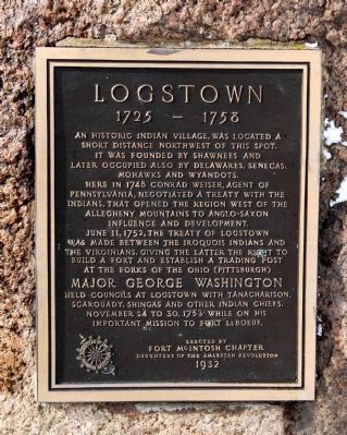
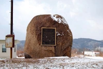
Logstown
(1725 - 1758)
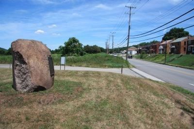
June 11, 1752, the Treaty of Logstown was made between the Iroquois Indians and the Virginians, giving the latter the right to build a fort and establish a trading post at the forks of the Ohio (Pittsburgh)
Major George Washington held councils at Logstown with Tanacharison, Scarouaday, Shingas and other Indian chiefs, November 24 to 30, 1753 while on his important mission to Fort LeBoeuf.
Erected 1932 by Daughters of the American Revolution-Fort McIntosh Chapter.
Topics and series. This historical marker is listed in these topic lists: Forts and Castles • Native Americans • Settlements & Settlers • War, French and Indian. In addition, it is included in the Daughters of the American Revolution series list. A significant historical month for this entry is June 1956.
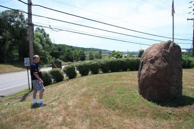
Location. 40° 37.376′ N, 80° 13.599′ W. Marker is in Baden, Pennsylvania, in Beaver County. Marker is at the intersection of Duss Avenue and Anthony Wayne Drive, on the left when traveling north on Duss Avenue. Located at Logstown/Legionville Historic Park & Center. Touch for map. Marker is in this post office area: Baden PA 15005, United States of America. Touch for directions.
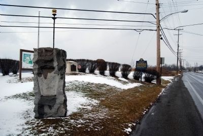
Other nearby markers. At least 8 other markers are within walking distance of this marker. Legionville (here, next to this marker); a different marker also named Logstown (a few steps from this marker); Legionville Monument (a few steps from this marker); Legion of the United States Encampment (a few steps from this marker); Anthony Wayne's Camp (approx. 0.2 miles away); Site of First Mass (approx. 0.3 miles away); Hill Cemetery (approx. 0.3 miles away); Down The Ohio (approx. 0.3 miles away). Touch for a list and map of all markers in Baden.
Also see . . .
1. Logstown, on the Ohio. (Submitted on February 15, 2011, by Mike Wintermantel of Pittsburgh, Pennsylvania.)
2. Treaty of Logstown, 1752. Early recognized treaties with American Indian nations, University of Nebraska-Lincoln, Center for Digital Research in the Humanities. (Submitted on February 15, 2011, by Bernard Fisher of Richmond, Virginia.)
Credits. This page was last revised on June 16, 2016. It was originally submitted on February 15, 2011, by Mike Wintermantel of Pittsburgh, Pennsylvania. This page has been viewed 1,827 times since then and 49 times this year. Photos: 1, 2, 3. submitted on February 15, 2011, by Mike Wintermantel of Pittsburgh, Pennsylvania. 4, 5, 6. submitted on September 3, 2011, by Dale K. Benington of Toledo, Ohio. • Bernard Fisher was the editor who published this page.
