The 755th Aircraft Control and Warning Squadron
Side A
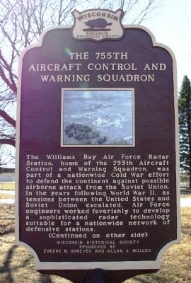
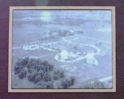
The Williams Bay Air Force Radar Station, home of the 755th Aircraft Control and Warning Squadron, was part of a nationwide Cold War effort to defend the continent against possible airborne attack from the Soviet Union. In the years following World War II, as tensions between the United States and Soviet Union escalated, Air Force engineers worked feverishly to develop a sophisticated radar technology suitable for a nationwide network of defensive stations.
Side B
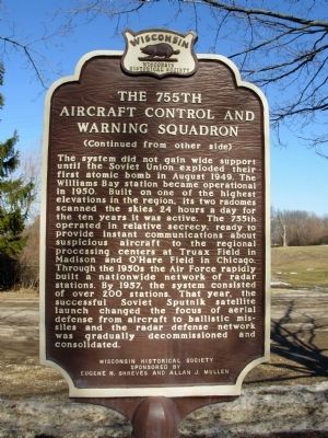
The system did not gain wide support until the Soviet Union exploded their first atomic bomb in August 1949. The Williams Bay station became operational in 1950. Built on one of the highest elevations in the region, its two radomes scanned the skies 24 hours a day for the ten years it was active. The 755th operated in relative secrecy, ready to provide instant communications about suspicious aircraft to the regional processing centers at Truax Field in Madison and O’Hare Field in Chicago. Through the 1950s the Air Force rapidly built a nationwide network of radar stations. By 1957, the system consisted of over 200 stations. That year, the successful Soviet Sputnik satellite launch changed the focus of aerial defense from aircraft to ballistic missiles and the radar defense network was gradually decommissioned and consolidated.
Erected by
Topics and series. This historical marker is listed in this topic list: War, Cold. In addition, it is included in the Wisconsin Historical Society series list. A significant historical year for this entry is 1949.
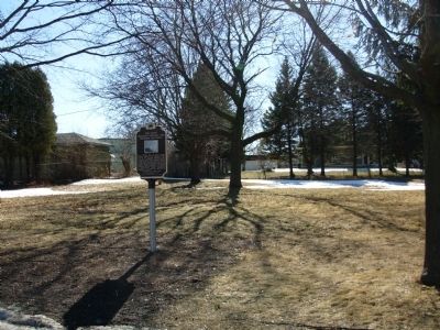
Location. 42° 37.005′ N, 88° 32.421′ W. Marker is in Williams Bay, Wisconsin, in Walworth County. Marker can be reached from State Highway 67, ¼ mile south of Palmer Road, on the right when traveling north. Located off the highway in the entrance to the Highway 67 Industrial Park. Touch for map. Marker is at or near this postal address: N3440 STH 67, Williams Bay WI 53191, United States of America. Touch for directions.
Other nearby markers. At least 8 other markers are within 6 miles of this marker, measured as the crow flies. The Webster House (approx. 3.6 miles away); Birthplace of “The Greatest Show on Earth” (approx. 5.1 miles away); Civil War Veterans Buried in Pioneer Cemetery (approx. 5.3 miles away); Pioneer Cemetery (approx. 5.3 miles away); Maple Park (approx. 5.4 miles away); The Poppy (approx. 5.4 miles away); Veterans Memorial (approx. 5.4 miles away); Historic Railroad Depot (approx. 5½ miles away).
Regarding The 755th Aircraft Control and Warning Squadron. The Highway 67 Industrial Park contains the remains of the Air Force facility.
Credits. This page was last revised on June 16, 2016. It was originally submitted on February 23, 2011, by Paul Fehrenbach of Germantown, Wisconsin. This page has been viewed 1,490 times since then and 88 times this year. Photos: 1, 2, 3, 4. submitted on February 23, 2011, by Paul Fehrenbach of Germantown, Wisconsin. • Bill Pfingsten was the editor who published this page.


