Fort George Island near Jacksonville in Duval County, Florida — The American South (South Atlantic)
Slave Cabins
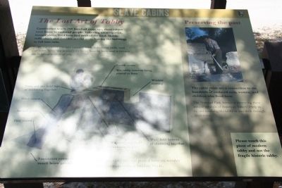
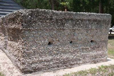
The Lost Art of Tabby
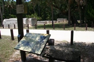
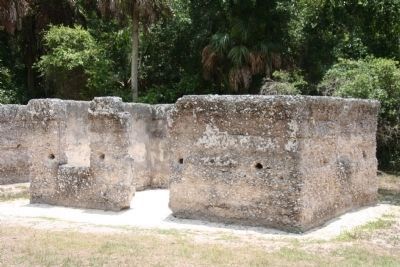
Tabby was a labor-intensive concrete made from oyster shells, sand, and water. Tabby was poured into forms, layer by layer, until it became the buildings in front of you.
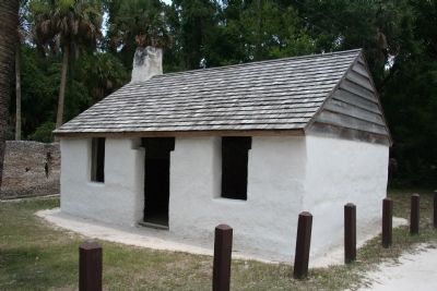
The cabin ruins are a connection to the hundreds of enslaved men, women, and children who lived here.
The National Park Service is preserving these unique symbols of American history. Help us by not touching the tabby as you walk through these ruins.
Erected by National Park Service.
Topics. This historical marker is listed in these topic lists: African Americans • Agriculture • Settlements & Settlers.
Location. 30° 26.208′ N, 81° 26.278′ W. Marker is near Jacksonville, Florida, in Duval County. It is on Fort George Island. Marker is on Palmetto Avenue north of Fort George Road, on the right when traveling north. This historical marker is located in a national park. The historical marker is in a very remote area that is reached by traveling a considerable distance on an unpaved dirt road. To get there one must turn north, off of the Florida State Route 1A (Heckscher Road), onto Fort George Road, and then traveling about 0.6 miles to the intersection of Fort George Road and Palmetto Avenue, were you turn north on Palmetto Avenue and travel to the end of this road to reach the historical marker. The turn-off from state route 1A can be identified by the "Kingsley Plantation, Fort George Island Visitor Center" sign that is situated right at the turnoff point. Touch for map. Marker is in this post office area: Jacksonville FL 32226, United States of America. Touch for directions.
Other nearby markers. At least 8 other markers are within walking distance of this marker. A different marker also named Slave Cabins (within shouting distance of this marker); a different marker also named Slave Cabins (within shouting distance of this marker); a different marker also named Slave Cabins (within shouting distance of this marker); a different marker also named Slave Cabins (within shouting distance of this marker); a different marker also named Slave Cabins (within shouting distance of this marker); African Identity (within shouting distance of this marker); a different marker also named African Identity (within shouting distance of this marker); Slaves Cabins (about 600 feet away, measured in a direct line). Touch for a list and map of all markers in Jacksonville.
Also see . . .
1. Kingsley Plantation
. This is a link to information provided by the National Park Service. (Submitted on February 26, 2011, by Dale K. Benington of Toledo, Ohio.)
2. Kingsley Plantation. This is a link to information provided by Wikipedia, the free encyclopedia. (Submitted on February 26, 2011, by Dale K. Benington of Toledo, Ohio.)
Credits. This page was last revised on February 3, 2023. It was originally submitted on February 26, 2011, by Dale K. Benington of Toledo, Ohio. This page has been viewed 1,041 times since then and 10 times this year. Photos: 1, 2, 3, 4. submitted on February 26, 2011, by Dale K. Benington of Toledo, Ohio. 5. submitted on March 31, 2011, by Dale K. Benington of Toledo, Ohio.
