Near Moultrie in Colquitt County, Georgia — The American South (South Atlantic)
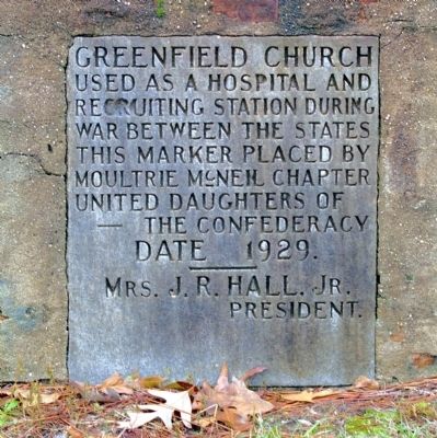
Greenfield Church
This marker placed by Moultrie McNeil Chapter United Daughters of the Confederacy
Date 1929.
Mrs. J. R. Hall, Jr. President.
Erected 1929 by Moultrie McNeil Chapter, United Daughters of the Confederacy.
Topics and series. This historical marker is listed in this topic list: War, US Civil. In addition, it is included in the United Daughters of the Confederacy series list. A significant historical year for this entry is 1929.
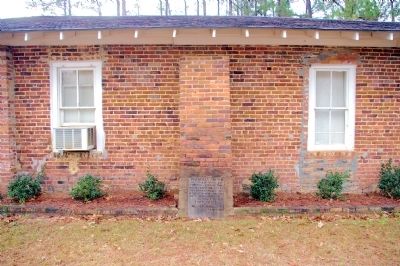
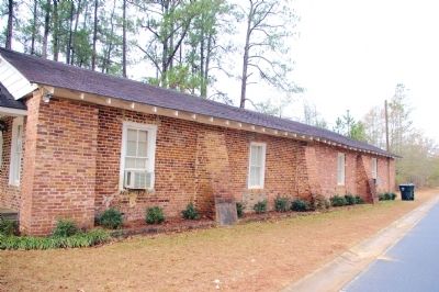
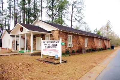
Location. 31° 5.037′ N, 83° 45.9′ W. Marker is near Moultrie, Georgia, in Colquitt County. Marker is at the intersection of Greenfield Church Road and Kilgore Road, on the right when traveling east on Greenfield Church Road. The marker is located in a buttress supporting the north wall of the New Life Tabernacle Baptist Church. Touch for map. Marker is at or near this postal address: 1001 Greenfield Church Road, Moultrie GA 31788, United States of America. Touch for directions.
Other nearby markers. At least 8 other markers are within 7 miles of this marker, measured as the crow flies. Olde Greenfield Church and Historic Cemetery (a few steps from this marker); Murphy Settlement (approx. 3.6 miles away); Colonial Heights (approx. 4.7 miles away); Colonial Dames of America Centennial Sundial (approx. 6.6 miles away); Georgia Northern Railway Locomotive 105 (approx. 6.7 miles away); Old Colquitt County Jail (approx. 6.7 miles away); Friedlander's Department Store (approx. 6.7 miles away); Colquitt County Confederate Monument (approx. 6.7 miles away). Touch for a list and map of all markers in Moultrie.
Credits. This page was last revised on June 16, 2016. It was originally submitted on March 5, 2011, by David Seibert of Sandy Springs, Georgia. This page has been viewed 1,124 times since then and 49 times this year. Photos: 1, 2, 3, 4. submitted on March 5, 2011, by David Seibert of Sandy Springs, Georgia. • Craig Swain was the editor who published this page.


