Attapulgus in Decatur County, Georgia — The American South (South Atlantic)
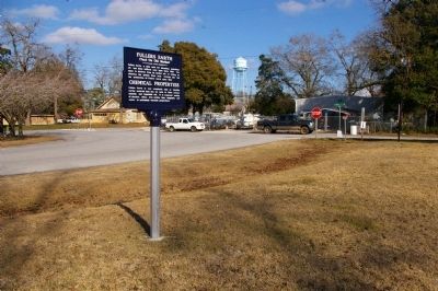
Attapulgite / Fullers Earth
Attapulgite
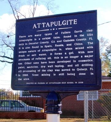
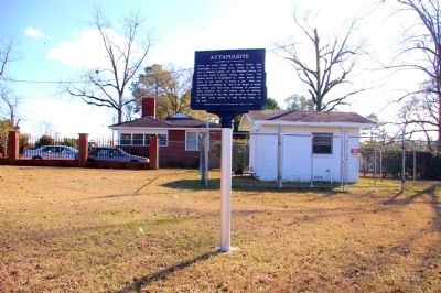
There are many types of Fullers Earth clay. Attapulgite is a unique type, found in the USA only in Decatur County, GA and Gadsden County, Fl. It is also found in Spain, Russia , and China. The unique nature of Attapulgite is, when mixed with fresh or salt water, it forms a gel. With new processes of refining oil, this no longer a major use. Other uses have been developed in cosmetics, paint, medicine, dry wall taping, and oil drilling. All processing of the clay was moved to Quincy, FL in 1998. Some mining is still being done in the area.
Fullers Earth
(Text on Old Marker)
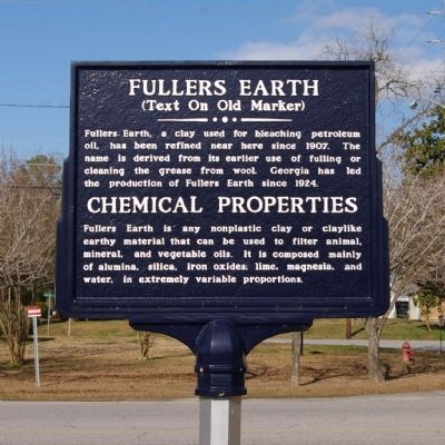
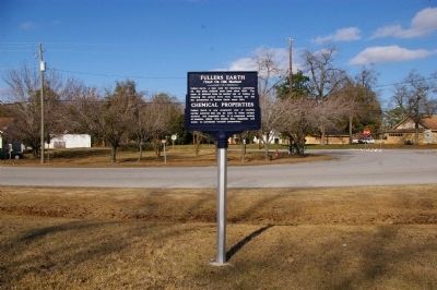
Fullers Earth, a clay used for bleaching petroleum oil, has been refined near here since 1907. The name is derived from its earlier use of fulling or cleaning the grease from wool. Georgia has led the production of Fullers Earth since 1924.
Chemical Properties
Fullers Earth is any nonplastic clay or claylike earthy material that can be used to filter animal, mineral, and vegetable oils. It is composed mainly of alumina, silica, iron oxides, lime, magnesia, and water, in extremely variable proportions
Erected 2008 by Friends of Attapulgus High School.
Topics and series. This historical marker is listed in these topic lists: Industry & Commerce
Location. 30° 44.921′ N, 84° 29.152′ W. Marker is in Attapulgus, Georgia, in Decatur County. Marker is at the intersection of Englehard Way and Clay Street, on the right when traveling east on Englehard Way. Touch for map. Marker is in this post office area: Attapulgus GA 39815, United States of America. Touch for directions.
Other nearby markers. At least 8 other markers are within 8 miles of this marker, measured as the crow flies. Attapulgus (about 700 feet away, measured in a direct line); Attapulgus High School (about 700 feet away); Attapulgus Cemetery Inc. (approx. ¼ mile away); Attapulgus Presbyterian Cemetery (approx. 0.3 miles away); Amsterdam, Georgia / Shade Grown Tobacco (approx. 3½ miles away); Gragg Lumber Company (approx. 3½ miles away); The Village, the Pits, and the Dumps (approx. 3½ miles away); Charles James Munnerlyn / “Refuge” (approx. 8 miles away). Touch for a list and map of all markers in Attapulgus.
Regarding Attapulgite / Fullers Earth. The "old marker" referenced in the title on the second side was a WPA (Works Progress Administration) marker erected on US Highway 27 in Attapulgus in the 1930s. It disappeared many years ago.
Also see . . . Fuller's Earth - Wikipedia. (Submitted on March 14, 2011, by David Seibert of Sandy Springs, Georgia.)
Credits. This page was last revised on June 6, 2020. It was originally submitted on March 14, 2011, by David Seibert of Sandy Springs, Georgia. This page has been viewed 1,713 times since then and 118 times this year. Photos: 1, 2, 3, 4, 5. submitted on March 14, 2011, by David Seibert of Sandy Springs, Georgia. • Bill Pfingsten was the editor who published this page.
