Near Soledad in Monterey County, California — The American West (Pacific Coastal)
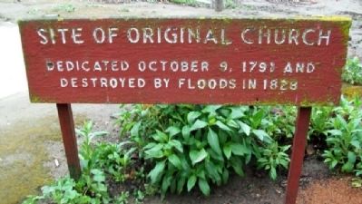
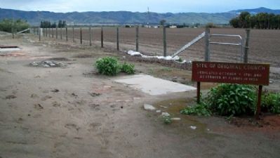
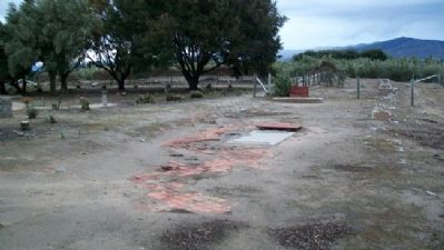
Site of Original Church
destroyed by floods in 1828
Topics. This historical marker is listed in these topic lists: Churches & Religion • Education • Hispanic Americans • Settlements & Settlers. A significant historical date for this entry is October 9, 1998.
Location. 36° 24.28′ N, 121° 21.318′ W. Marker is near Soledad, California, in Monterey County. Marker is on the mission grounds, immediately east of the existing buildings. Touch for map. Marker is at or near this postal address: 36641 Fort Romie Road, Soledad CA 93960, United States of America. Touch for directions.
Other nearby markers. At least 8 other markers are within 3 miles of this marker, measured as the crow flies. Jose Joaquin de Arrillaga (a few steps from this marker); Padre Florencio Ibanez (within shouting distance of this marker); The De Anza Expedition in Soledad (within shouting distance of this marker); El Camino Real Bell (within shouting distance of this marker); Mission Nuestra Señora Dolorosísima de la Soledad (about 600 feet away, measured in a direct line); Railroad Station Site (approx. 2.1 miles away); Cesar Chavez Park (approx. 2.1 miles away); One Voice Murals Project (approx. 2.1 miles away). Touch for a list and map of all markers in Soledad.
Regarding Site of Original Church. See "Nearby Marker" Mission Nuestra Señora Dolorosísima de la Soledad for additional information.
Credits. This page was last revised on June 16, 2016. It was originally submitted on March 25, 2011, by William Fischer, Jr. of Scranton, Pennsylvania. This page has been viewed 732 times since then and 11 times this year. Photos: 1, 2, 3. submitted on March 25, 2011, by William Fischer, Jr. of Scranton, Pennsylvania.


