Carroll Park in Baltimore, Maryland — The American Northeast (Mid-Atlantic)
Carroll Park at the Golf Course
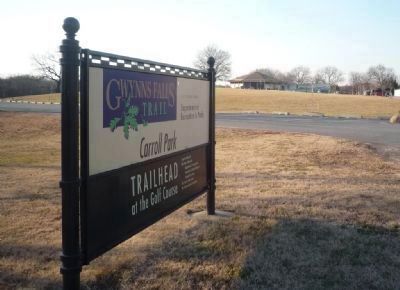
Gwynns Falls Trail
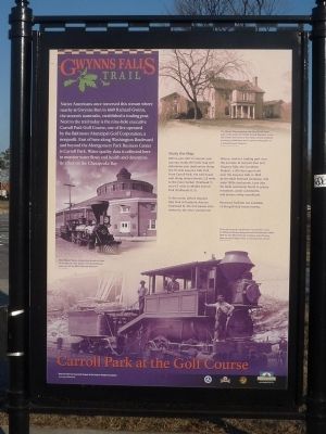
Native Americans once traversed this stream where nearby at Gwynns Run in 1669, Richard Gwinn, the stream’s namesake, established a trading post. Next to the trail today is the nine-hole executive Carroll Park Golf Course, one of the five operated by the Baltimore Municipal Golf Corporation, a non-profit. East of here along Washington Boulevard and beyond the Montgomery Park Business Center is Carroll Park. Water quality data is collected here to monitor water flows and health and determine its affect on the Chesapeake Bay.
Study the Map.
Before you start or resume your journey, study the kiosk map and determine your destination along the 15-mile Gwynns Falls Trail. From Carroll Park, the trail heads east along several streets, 2.8 miles to the Inner Harbor (Trailhead 7) and 4.3 miles to Middle Branch Park (Trail Heads 8, 9).
To the north, before Gwynns Falls Park at Frederick Avenue (Trailhead 5), the trail passes sites related to the city’s commercial history: Gwynns Run and Gwynns Falls; the Carrollton Viaduct, a 300-foot span built over the Gwynns Falls in 1829 by the B&O Railroad Company; and early-1900s stockyards. Look also for birds commonly found in grassy meadows, water catchments, and stream valley woodlands.
Restroom facilities are available at the golf club house nearby.
[Captions:]
The Mount Clare mansion and Carroll Park were part of the estate of Charles Carroll, Barrister, in the late 1700s. The house is the oldest colonial building surviving in Baltimore and is open to the public as a colonial house museum.
The William Mason locomotive stands in front of the Mount Clare Station and Roundhouse, now part of the B&O Railroad Museum.
This coal-burning “camel-back” locomotive is one of 300 Ross Winans designed and built between 1848-1859 for the B&O Railroad Company to pull heavy, slow-moving freight trains on mountainous terrain.
Erected by the Gwynns Falls Trail Council / A Project of the Parks & People Foundation.
Topics and series. This historical marker is listed in these topic lists: African Americans • Civil Rights • Railroads & Streetcars • Sports. In addition, it is included in the Maryland, Gwynns Falls Trail series list. A significant historical year for this entry is 1669.
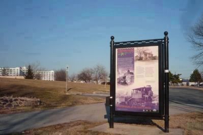
Location. 39° 16.302′ N, 76° 38.886′ W. Marker is in Baltimore, Maryland. It is in Carroll Park. Marker is on Gwynns Falls Trail (Trailhead 6) west of Washington Blvd., on the left when traveling west. Touch for map. Marker is at or near this postal address: 2100 Washington Blvd, Baltimore MD 21230, United States of America. Touch for directions.
Other nearby markers. At least 8 other markers are within walking distance of this marker.
The Baltimore Ecosystem Study (a few steps from this marker); Of Fords, Felles, and Falls (a few steps from this marker); Carroll Park Golf Course (about 300 feet away, measured in a direct line); Carroll Park (approx. 0.4 miles away); Carrollton Viaduct (approx. half a mile away); Mount Clare (approx. 0.6 miles away); Camp Carroll (approx. 0.6 miles away); a different marker also named Mount Clare (approx. 0.6 miles away). Touch for a list and map of all markers in Baltimore.
Related marker. Click here for another marker that is related to this marker. To better understand the relationship, study each marker in the order shown.
Also see . . . Gwynns Falls Trail. (Submitted on April 4, 2011, by Richard E. Miller of Oxon Hill, Maryland.)
Credits. This page was last revised on April 8, 2023. It was originally submitted on April 4, 2011, by Richard E. Miller of Oxon Hill, Maryland. This page has been viewed 1,035 times since then and 14 times this year. Photos: 1, 2, 3, 4. submitted on April 4, 2011, by Richard E. Miller of Oxon Hill, Maryland. • Bill Pfingsten was the editor who published this page.


