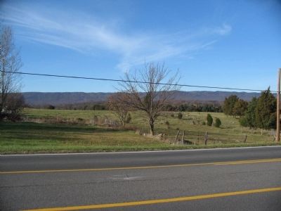
Near Fishers Hill in Shenandoah County, Virginia — The American South (Mid-Atlantic)
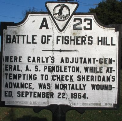
Battle of Fisher's Hill
Erected 1930 by Conservation & Development Commission. (Marker Number A-23.)
Topics and series. This historical marker is listed in this topic list: War, US Civil. In addition, it is included in the Virginia Department of Historic Resources (DHR) series list. A significant historical date for this entry is September 22, 1897.
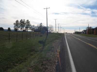
Location. 38° 57.956′ N, 78° 24.614′ W. Marker is near Fishers Hill, Virginia, in Shenandoah County. Marker is at the intersection of Old Valley Pike (U.S. 11) and Millner Road (County Route 644), on the right when traveling north on Old Valley Pike. Touch for map. Marker is in this post office area: Fishers Hill VA 22626, United States of America. Touch for directions.
Other nearby markers. At least 8 other markers are within 2 miles of this marker, measured as the crow flies. A different marker also named Battle of Fisher's Hill (approx. 0.6 miles away); a different marker also named Battle of Fisher's Hill (approx. ¾ mile away); "Snapp House" (approx. 0.9 miles away); a different marker also named The Battle of Fishers Hill (approx. one mile away); Fisher's Hill Battlefield (approx. 1.4 miles away); Creative Women of Fishers Hill (approx. 1½ miles away); Stoner-Keller House & Mill (approx. 1½ miles away); Fisher’s Hill (approx. 1.6 miles away). Touch for a list and map of all markers in Fishers Hill.
Regarding Battle of Fisher's Hill. This is one of several markers interpreting the Battle of Fisher's Hill. See the Battle of Fisher's Hill Virtual Tour by Markers linked below.
Also see . . . Battle of Fisher's Hill. National Park Service summary of the battle. (Submitted on December 11, 2007, by Craig Swain of Leesburg, Virginia.)

Photographed By Craig Swain, December 1, 2007
3. Confederate Retreat Becomes Rout
As the Federal forces overwhelmed the Confederate line along Fisher's Hill, the retreat became a rout. Generals Gordon, Pegram, and Ramseur attempted first to reform their divisions near Round Hill (just north of present day Mount Olive Road (Route 651). As part of the rallying efforts Colonel Alexander "Sandie" Pendleton was wounded. He would die the next day in Woodstock, VA.
Credits. This page was last revised on May 12, 2022. It was originally submitted on December 11, 2007, by Craig Swain of Leesburg, Virginia. This page has been viewed 1,747 times since then and 33 times this year. Photos: 1, 2, 3. submitted on December 11, 2007, by Craig Swain of Leesburg, Virginia.

